OSM Ireland Buildings
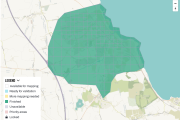
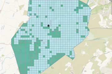
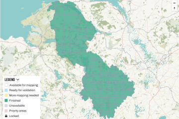
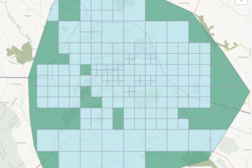
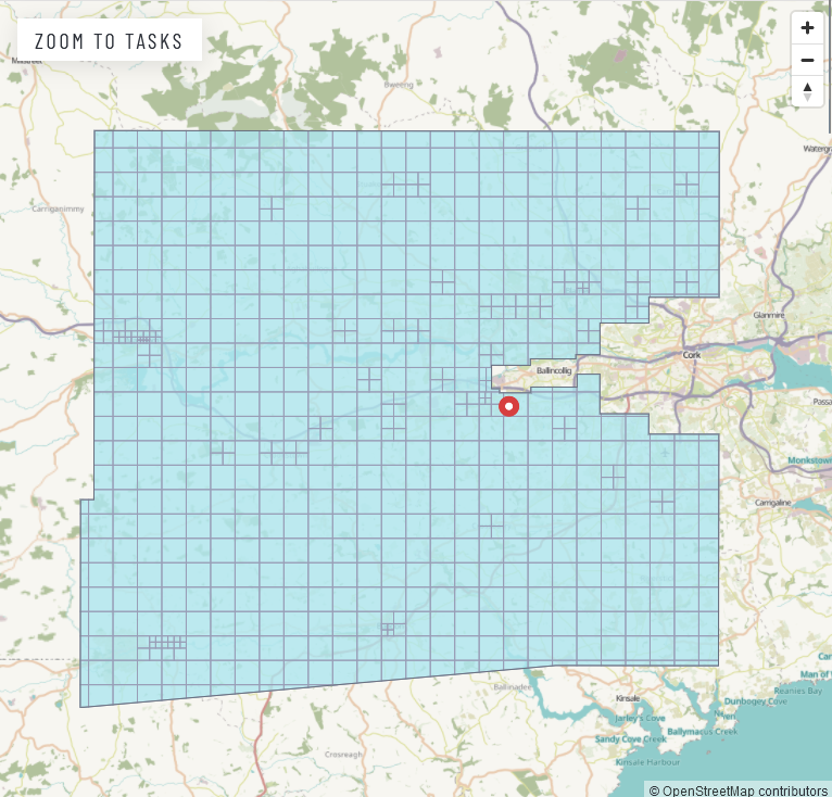
Task Between Macroom and Cork Finished
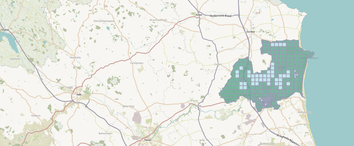
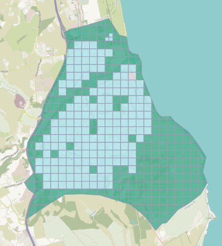
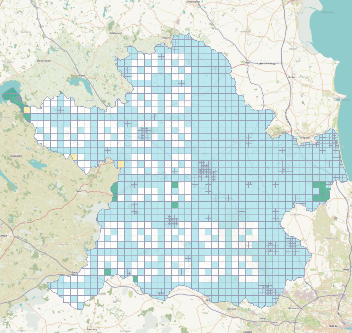
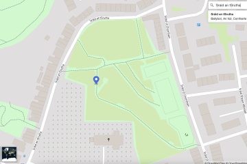
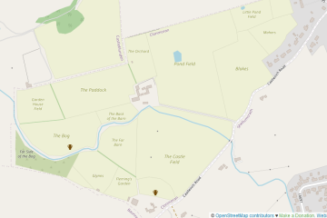
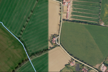
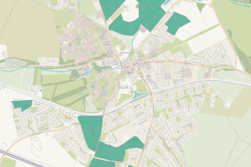
There have been attempts to map the buildings in the very large county of Cork for a while; parts were covered by the WildAtlanticWay efforts, and other tasks for Cork had been created. This one focused on the area roughly Read more