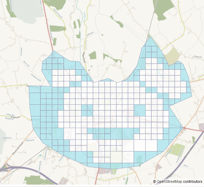
Portlaoise is one of the or even the fastest growing town in Ireland, and we have to try to keep up with its growth on the map. Therefore, a task was created on January 4th 2024 to map the missing buildings and highways. Sadly, there was only one mapper (myself) who participated, but the task was small enough to be finished fast within three weeks. (The average mapping time per tile was 1min 20sec.) It is now awaiting validation (click here for task manager).
Table of contents
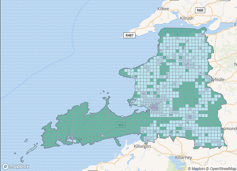
Portlaoise had been part of the Laois-Offaly task for which the mapping had been completed 2021-10-30.
Numbers for Buildings
| building type | no. Nov. 2019 | no. Nov. 2021 | no. Jan 3rd 2024 | no. Jan 26th 2024 |
|---|---|---|---|---|
* | 2,000 | 9,500 | 9,600 | 10,246 |
yes | 1,800 | 1,500 | 1,400 | 915 |
house | 179 | 6,400 | 6,500 | 6,824 |
terrace | 0 | 0 | 13 | 7 |
semidetached_house | 0 | 141 | 141 | 530 |
detached | 0 | 16 | 18 | 273 |
shed | 0 | 674 | 678 | 677 |
garage | 1 | 356 | 356 | 361 |
construction | 0 | 106 | 103 | 288 |
prison | 11 | 11 | 11 | 11 |
public | 0 | 0 | 0 | 2 |
hospital | 2 | 16 | 16 | 16 |
industrial | 23 | 48 | 48 | 46 |
commercial | 7 | 31 | 23 | 47 |
hotel | 0 | 141 | 151 | 3 |
retail | 0 | 18 | 45 | 80 |
church | 1 | 3 | 4 | 4 |
school | 2 | 11 | 16 | 18 |
farm_auxiliary | 0 | 47 | 47 | 47 |
greenhouse | 0 | 7 | 7 | 7 |
ruins | 0 | 0 | 0 | 22 |
house. 2 An unusually low number.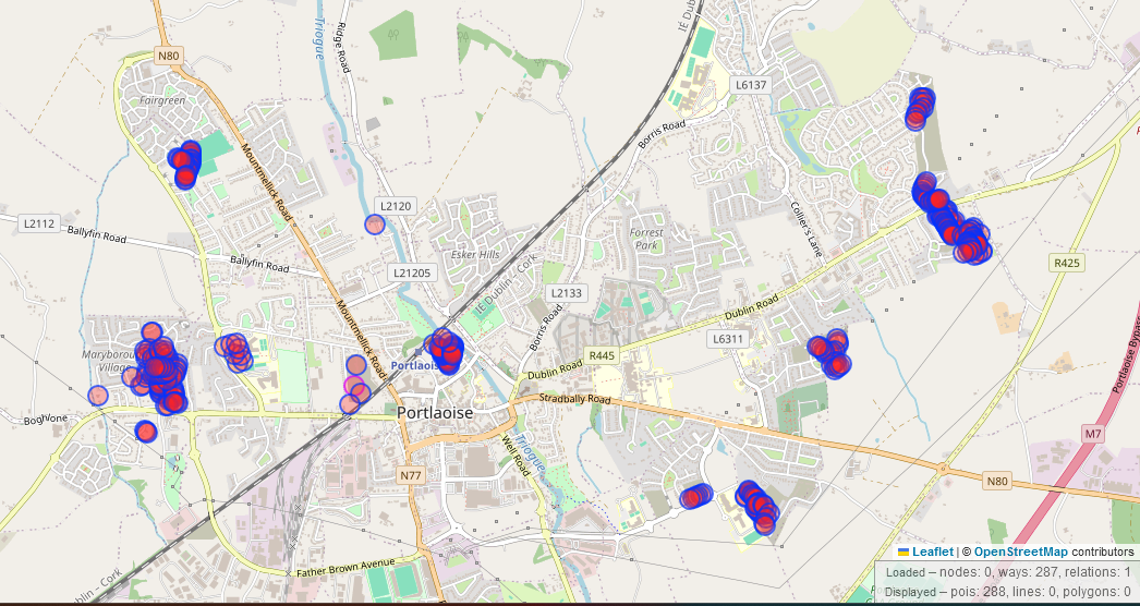
building=construction. overpass-queryAddresses
| addr tag | no. Nov. 2019 | no. Jan 3rd 2024 | no. Jan 26th 2024 |
|---|---|---|---|
highway=residential + !name | 204 | 218 | 260 |
addr:housenumber | 162 | 492 | 597 |
addr:interpolation | 0 | 0 | 0 |
addr:housename | 7 | 24 | 28 |
addr:street | 104 | 671 | 3,740 |
Traffic related numbers
| tag | no. Nov. 2019 | no. Jan 3rd 2024 | no. Jan 26th 2024 |
|---|---|---|---|
highway | 163km | 185km | * |
highway=crossing | 49 | 72 | 132 |
highway=stop | 27 | 30 | 82 |
traffic_calming | 63 | 72 | 113 |
highway=street_lamp | 14 | 17 | 25 |
amenity=parking | 35 | 86 | 115 |
amenity=parking_space | 0 | 0 | 245 |
amenity=charging_station | 3 | 4 | 4 |
amenity=bicycle_parking | 1 | 8 | 8 |
Mapillary coverage
Mapillary coverage is mostly by DeBigC and from 2018. It was used during the task to try and get street names in the Northwestern estate, but the signs were too small and blurred to yield anything of significance.
Suggested Action Items
It has already been suggested to hold an in-person mapping event in Portlaoise this year. It is very accessible from Dublin, even on public transport (train and bus no. 726 from Red Cow, terminus convenient to amenities). The event could be used to
- gather missing street names
- determine building types in the industrial estates (industrial vs. commercial/ retail)
- increase street-level imagery coverage
- discovering more areas of construction not covered in the Esri World imagery yet
- update construction sites
- add more house numbers
- find more defibrillators (overpass query)
- map locations of rental bike parking stops which has been in the making for a couple of months (Laois Today 2024-01-22), depending on timeline
- raise awareness of OSM in Portlaoise
- meet and great and have a bit of craic