Open Data
#46 North Kerry task finished
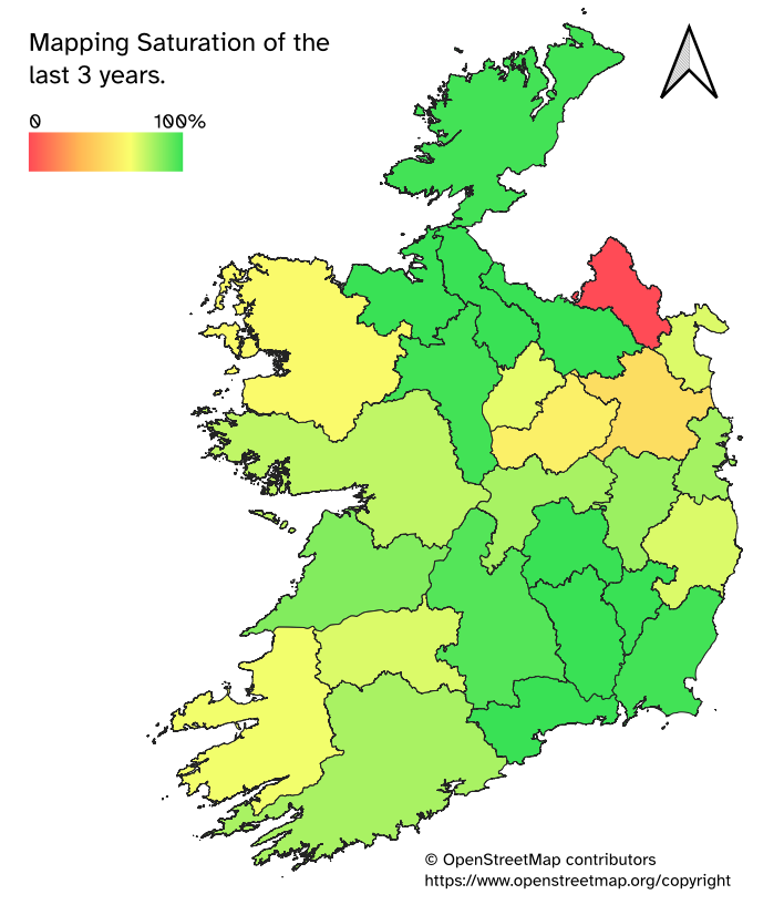
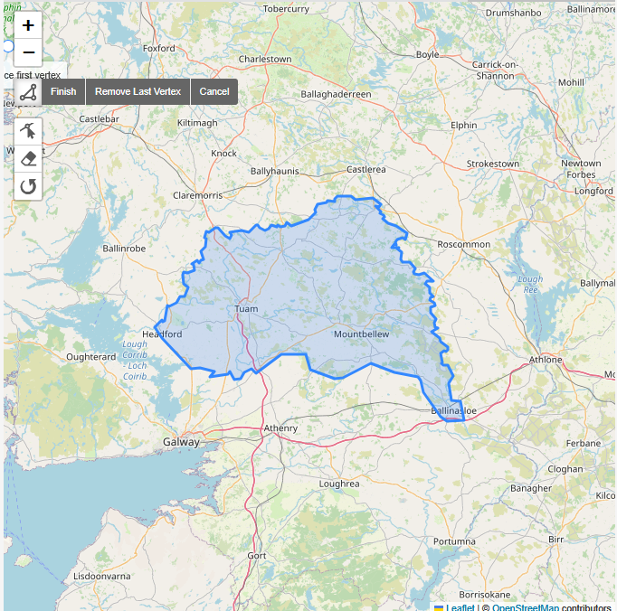
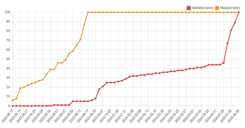
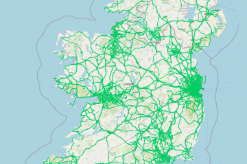
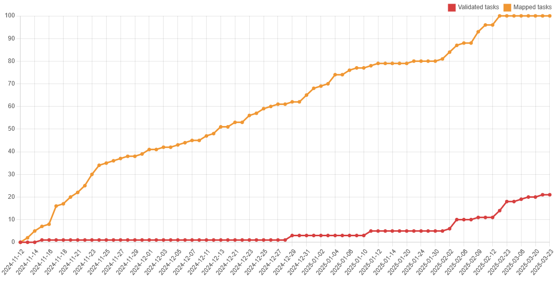
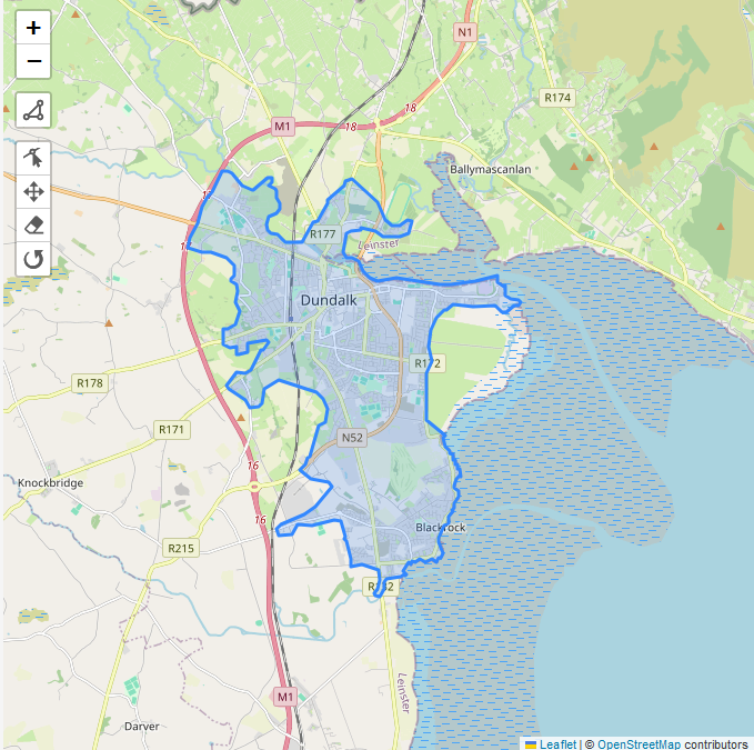
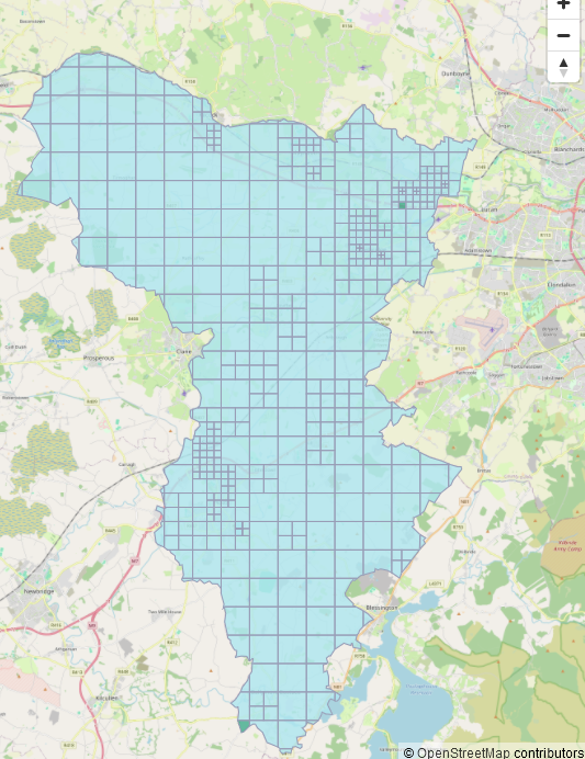
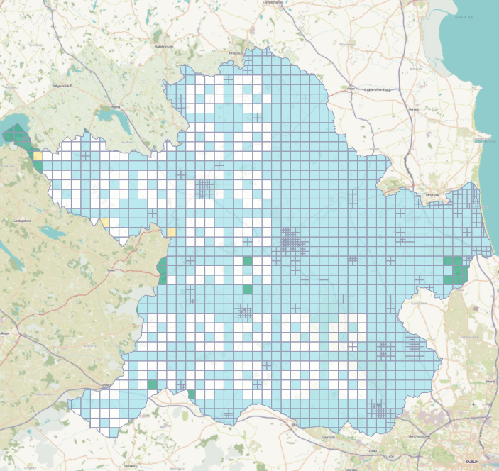
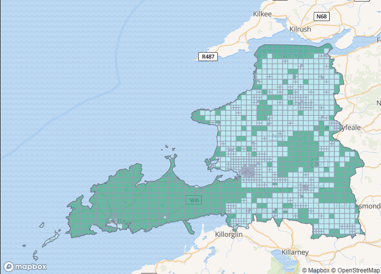
The mapping of task #46 North Kerry which had been opened on December 1st 2020 was concluded on May 17th 2026. Like so many others, it had been paused to reduce the number of open tasks in 2021 and was re-opened in December of 2025. The area had partly been Read more