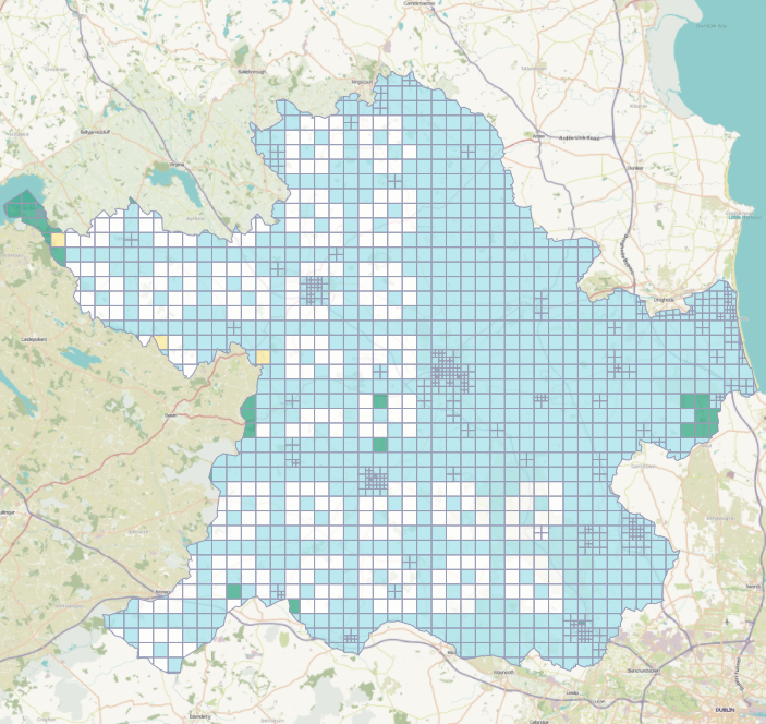
OSM Ireland Buildings
Using Ohsome for Task Server Projects
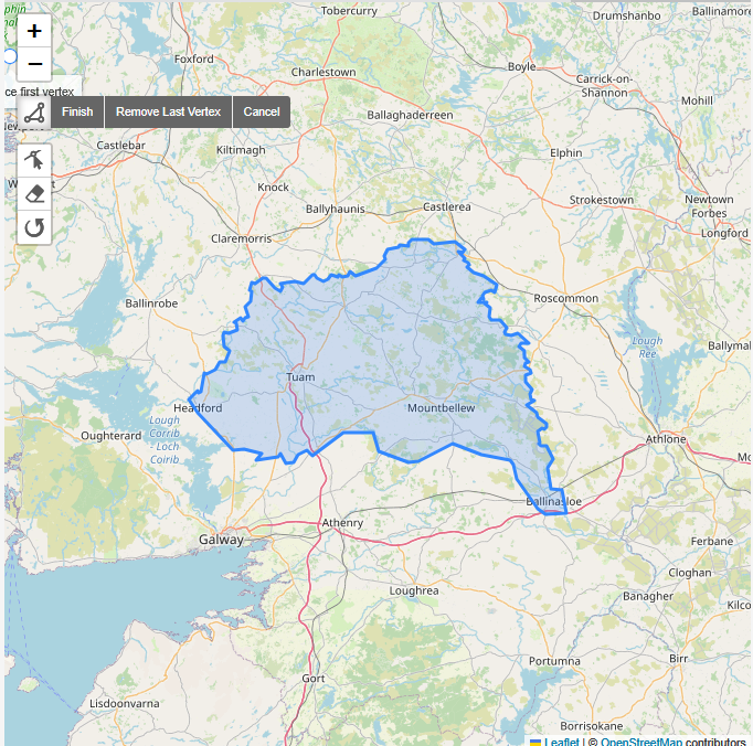
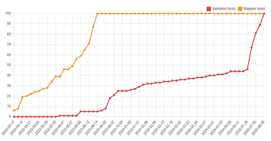
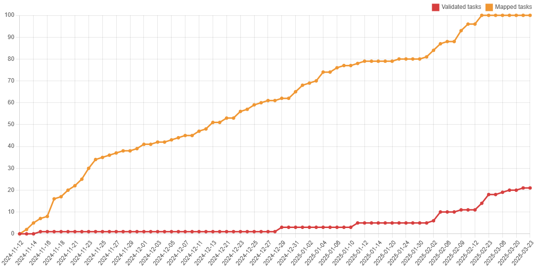
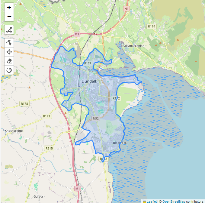
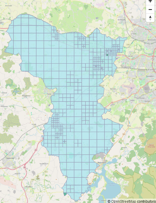
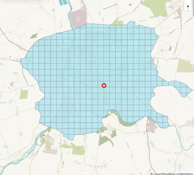
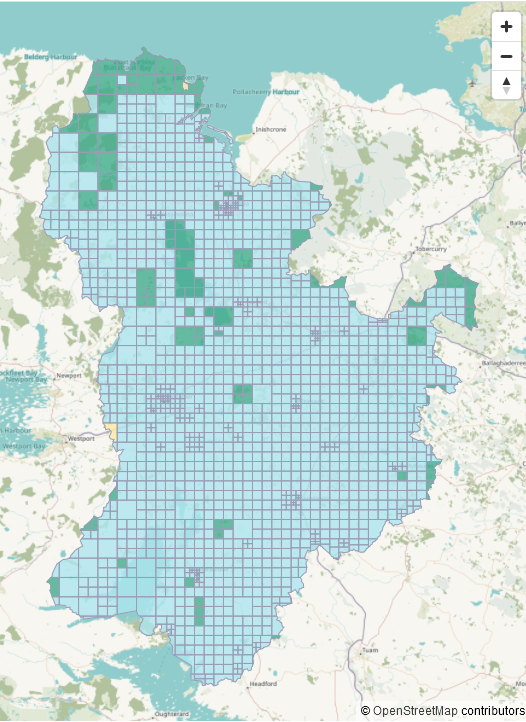
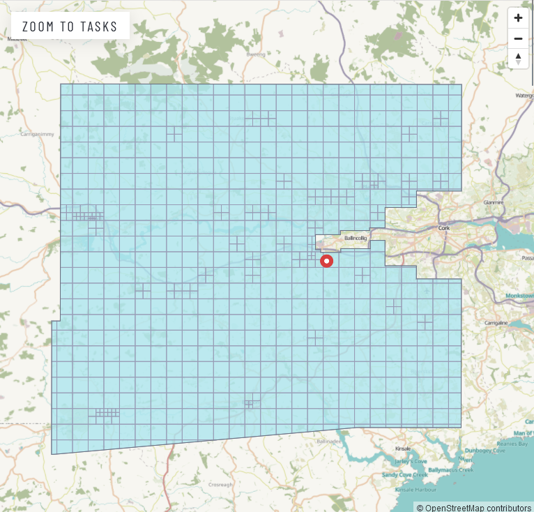
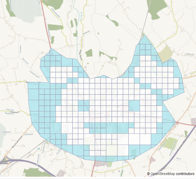
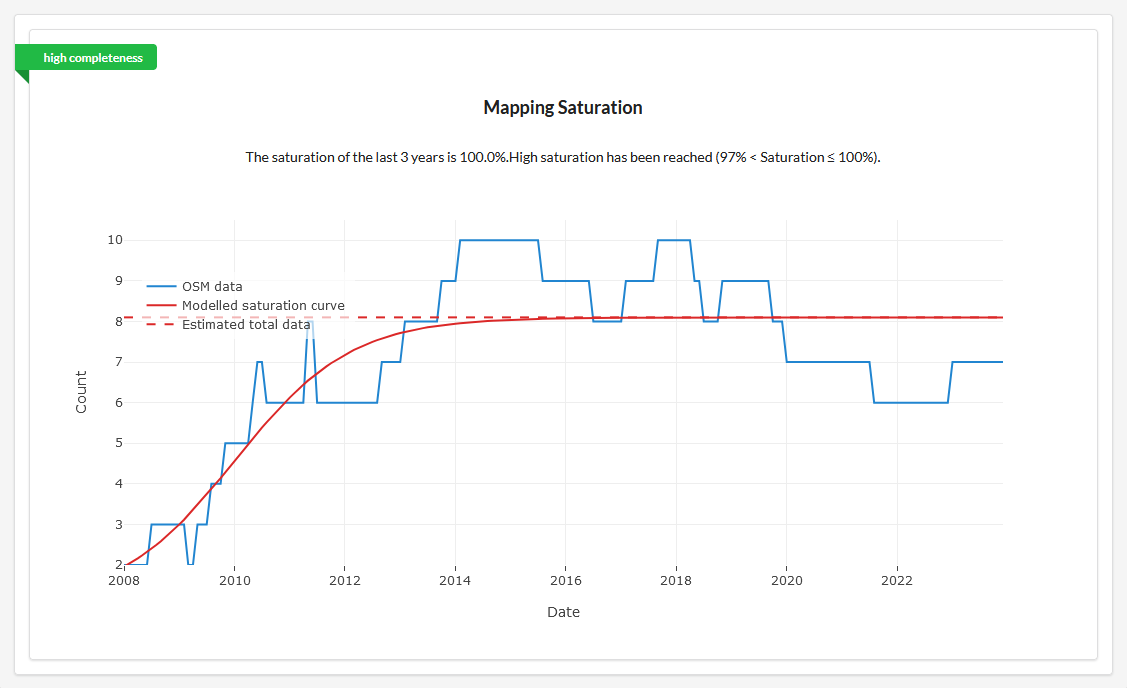
The Ohsome website allows generating statitics but expects the input as a list of coordinates rather than geojson. The first step is to download a goejson shape of the project from the Task Server – look for the button highlighted below (Download AOI): The geojson file may be a little Read more