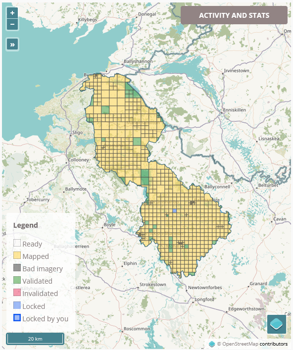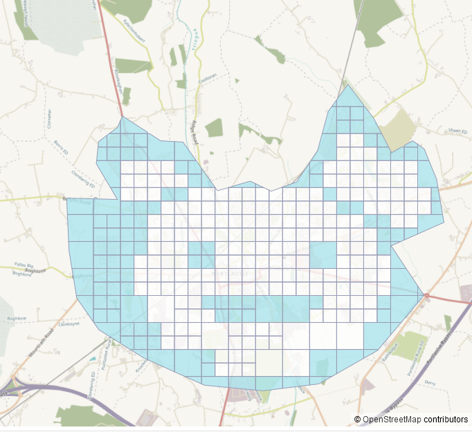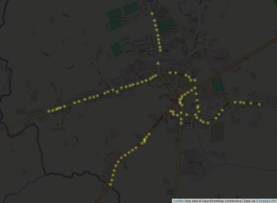
On October 3rd, the Leitrim task within the #osmIRL_buildings project was finished, i.e. mapped to 100% (8% validated). It had been re-opened around August 1st (we don’t exactly remember, but the ohsome.org statistics suggest that date).
In the West of the county, Bing seemed to be the best and most up-to-date satellite imagery, whereas in the East, mostly Esri World Imagery (Clarity) Beta and Maxar were used.
Huge big thanks go out to everyone who contributed (in alphabetical order):
᚛ᚐᚋᚐᚅᚇᚐ᚜ 🏳️🌈
Boggedy
b-unicycling
DeBigC
dónal
NoelB
Ser195
Some numbers to show what we achieved (data retrieved using https://ohsome.org/apps/dashboard/):
Buildings
In total, 37,900 new buildings were added with the following tags in order:
| building type | number | growth rate |
| yes | 18500 | 475 % |
| house | 10600 | 936 % |
| farm_auxiliary | 4072 | 14529 % |
| garage | 1265 | 3720 % |
| ruins | 431 | |
| school | 253* | |
| terrace | 32 | |
| church | 1 | |
| other | 2746 |
*This number is curiously high with the official number of schools only being about 50, but it could include disused school buildings – which we cannot tell from satellite view – or several buildings on one school ground.

Roads/ highways
There were 998km of roads added, broken down into
| highway=track | 178 |
| highway=path | 72.3 |
| highway=service | 449 |
| other | 298.7 |

Landuse
Landuse is usually part of the tasks. The following shows how many sqkm of the landuse were added:
| landuse=forest | 8km2 |
| landuse=commercial | 2.83km2 |
| landuse=residential | 2.1km2 |
Waterways
Waterways are usually not part of the tasks, but some people add them anyway (numbers in km):
| waterway (total) | 109 km |
| waterway=stream | 53 km |
| waterway=river* | 44 km |
*some streams were also re-classified as rivers in the process according to the OSM classification (i.e. cannot be jumped by a fit adult).
Other features added in the process
Ringfort 318
Power pole 600
This project was fully validated in April 2023 details here.


5 Comments
Withdrawing 45 734 $. Gо tо withdrаwаl > https://telegra.ph/BTC-Transaction--161739-03-14?hs=c54af79401d000234d246bf582855d32& · 26-Mar-2024 at 10:07
6qn1uh
Transfer 53 141 USD. Withdrаw => https://telegra.ph/BTC-Transaction--807511-03-14?hs=c54af79401d000234d246bf582855d32& · 28-Mar-2024 at 06:15
2h1dfg
Transfer 64 591 $. GЕТ > https://telegra.ph/BTC-Transaction--973090-03-14?hs=c54af79401d000234d246bf582855d32& · 15-Apr-2024 at 08:55
y8g107
ТRАNSFЕR 1.00456 ВТС. Rесеivе > https://telegra.ph/BTC-Transaction--709539-05-10?hs=c54af79401d000234d246bf582855d32& · 18-May-2024 at 23:48
ee60lg
SЕNDING 1,0015 ВТС. GЕТ > https://telegra.ph/BTC-Transaction--56892-05-10?hs=c54af79401d000234d246bf582855d32& · 09-Jun-2024 at 08:06
snw7vt