Fun
Map n Chat Easter 2026
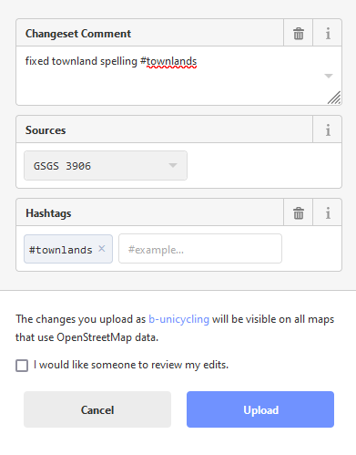
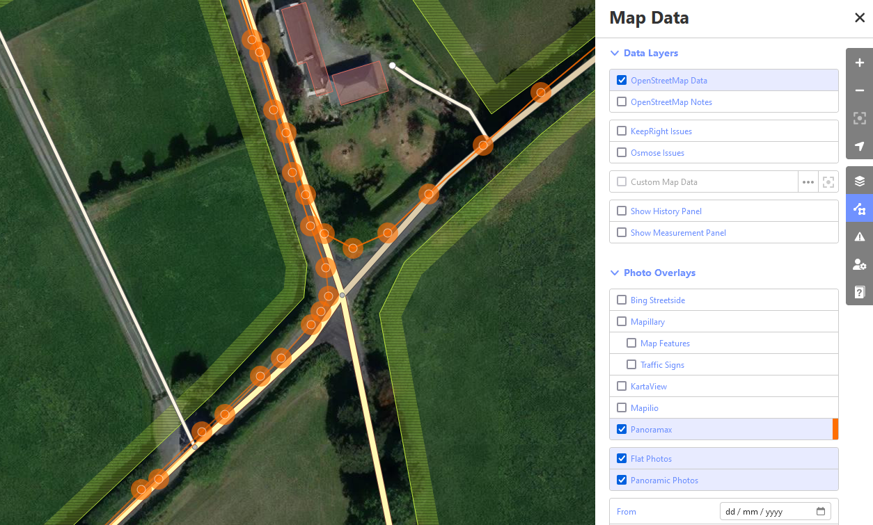
Join us for an Easter Map & Chat online! Fun, educational chats while adding data to OpenStreetMap! For the Easter 2026 Map & Chat b-unicycling and jonny will be demonstrating JOSM and sharing mapping techniques. Whether you’re a map whiz Read more