OpenStreetMap IrelandOpenStreetMap Ireland
  • Home
  • About
    • Membership
    • Corporate Members
    • Member Login
    • Who uses OpenStreetMap?
  • Learning
    • For Beginners
    • For Historians
      • How to fix wrong townland names spotted on townlands.ie
    • For Educators
    • For Developers
    • Tools
      • Mapillary street-level imagery
      • Panoramax Street-Level Imagery
      • OSMAnd Mobile App
      • Visualising Your Contributions
      • Using overpass-turbo to extract data from OpenStreetMap
  • Missions
    • AED Defibrillator Mapping
    • Current Mission Tasks
    • Completed Missions
      • Mapping Progress per County
      • Balbriggan
      • Celbridge
      • Connemara
      • County Cavan
      • County Clare – North
      • County Donegal
      • County Leitrim
      • County Roscommon
      • Longford Town
      • #MapLesotho
      • MapPatrick 2021
      • Wild Atlantic Way
  • News
  • Léarscáil
  • Contact

Belfast Mapathon

Published by Jonny McCullagh on 22-Jan-202622-Jan-2026

A Mapathon has been organised for Saturday 21st February 2026 from 11am to 1pm with food provided at QUB Geosciences building on Elmwood Avenue behind the Student’s Union. Numbers are limited to 30 attendees.

Sign up on eventbrite here.
Categories: Events

Recent Posts
  • OpenStreetMap Ireland AGM 2026
  • Belfast task (#115) complete
  • SW Limerick Task #114 Finished
  • #46 North Kerry task finished
  • State of the Buildings Map June 2026
Upcoming Events (Global)
  • State of the Map España 2026 (SotMes 2026)
  • Angers Rencontre mensuelle OpenStreetMap
  • OSM Bengaluru Mapping Party
  • Maker Days Salzburg
  • Mapathon @ Angera
  • Mapathon
  • OSMmapperCPH
OSM for History Buffs
  • Thomastown window fragment #StoneMadShorts
  • Corner Stone Theft #castles #churches
  • #Clonmel vine leaves #StoneMadShorts
  • A sandstone fragment at Sullivan's Taproom
  • Recycled stone at Kyteler's Inn
Forum Discussions
  • OpenStreetMap AGM - November 2026
  • Clonskeagh Road cycle routing issue (OSRM)
  • New Maproulette challenge: Ireland - Connectivity and Geometry Issues on Highways
  • Fake hamlets in County Longford?
  • Corrupted boundary between Connacht and Munster

Related Posts

Events

OpenStreetMap Ireland AGM 2026

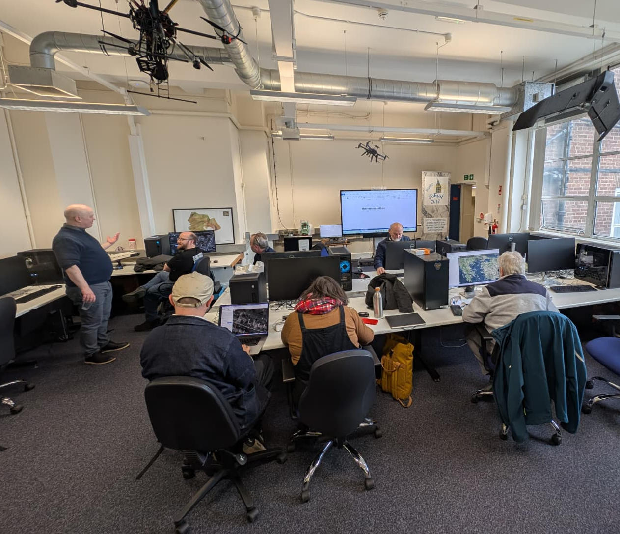
Date: Sat, November 14, 2026 · 12:00 Location: KatRisk (formerly Gamma), 4 Inns Court, Winetavern Street, Dublin, D08 XY00 We will cover the state of OpenStreetMap in Ireland, an update on the finances of the company and a Read more
Events

Belfast Mapping Event

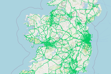
OpenStreetMap Ireland and Queen’s University Belfast hosted a mapping event on 21st Feb 2026 to introduce new users to contributing to the map. We started with a presentation by Jonny and Conor explaining the benefits Read more
Events

OpenStreetMap Ireland Annual General Meeting

Date: Sat, September 20, 2025 · 12:00 Location: Digital Arts and Humanities Active Learning Space, University College Cork, T12 Y337 Online: We will cover the state of OpenStreetMap in Ireland, an update on the finances of the company Read more

OpenStreetMap Ireland CLG
Registered company number 638034

General
  • Log in
  • Entries feed
  • Comments feed
  • WordPress.org
Categories
Archives

  • Home
  • About
  • Learning
  • Missions
  • News
  • Léarscáil
  • Contact
Hestia | Developed by ThemeIsle

OpenStreetMap Ireland Cookies Policy

Our Website uses cookies to improve your experience. Please visit our Privacy Policy page for more information about cookies and how we use them.

Close