Map & Chat April: Maynooth
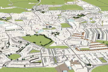
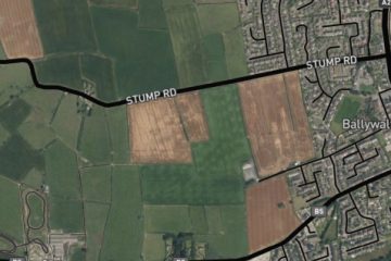
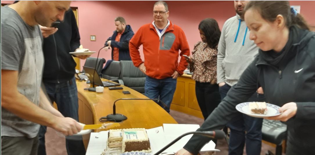
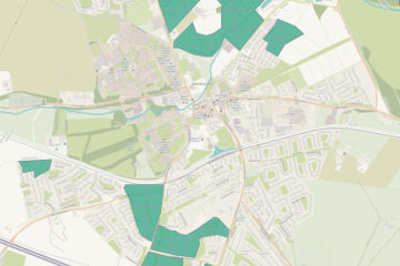
For our map & chat on April 4th, we decided to put some work into missing buildings in Maynooth, because many new housing estates had been built since we worked on Kildare, and there was new, good Bing imagery. A Read more
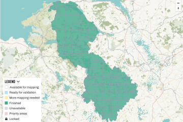
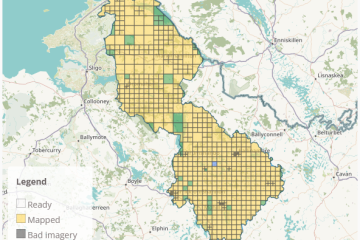
On April 8th 2023, Jonny (jonnymccullagh) announced that he had validated the last tile of the Leitrim task. This is big news and a great achievement, because it rarely happens these days that a whole tasks is validated completely – Read more
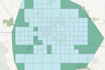
The Longford town task had been created in 2020, but was then “parked”, because the large choice of tasks hindered the completion of any of them. It was revived after the completion of the Roscommon task and finished within less Read more
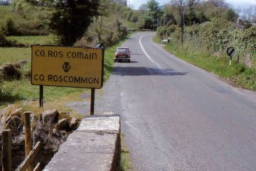
March 25th 2023 saw the final touches on the Roscommon task, that is the mapping stage was completed; validation is still required. It had first been created in August of 2022, but the bulk of attention was given to it Read more
For our map & chat event on February 23rd, we had decided on creating a task in the taskmanager for the village of Lusk in Co. Dublin. A-Ka aka b-unicycling had chosen Lusk while she was mapping National Monuments in Read more
(Co-written by AKD and JMcC) 2022 was yet another very active year for OpenStreetMap Ireland. osmIRL buildings The buildings project was started in November 2019 and seeks to map all the buildings on the island of Ireland eventually. Even though Read more
Mapper b-unicycling has had an article published about her discoveries in the Anglo Celt: An “armchair archaeologist” has literally put ancient Cavan crannógs on the map. Anne-Karoline Distel has discovered three previously unrecorded crannógs, which have been confirmed by the Read more
At 5:20 pm on 12/12/2022, the mapping part of the Cavan task was finished today*. Special thanks go to local mapper AdrianLangtry who did great ground work in Cavan and Ballyjamesduff as well as to mapillary constributors debigc and Elomur Read more
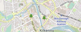
For some fun this Christmas we would like to tag as many public Christmas trees as possible. Add the trees in your local area using the tags: In JOSM that might look like: The trees can be visualised on Overpass Read more
Prolific mapper b-unicycling has recently been acknowledged in the Kilkenny People for her discoveries of previously unrecorded crannogs. Anne-Karoline Distel discovered the crannogs while mapping the County Cavan task, reporting them to the National Monuments Service. This discovery adds to Read more
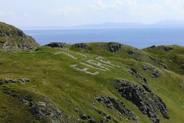
The mapping task for Co. Donegal as part of our ongoing #osmIRL_buildings campaign is very nearly finished. The task had been one of the first to be created at the start of the campaign in November 2019. However, it soon Read more
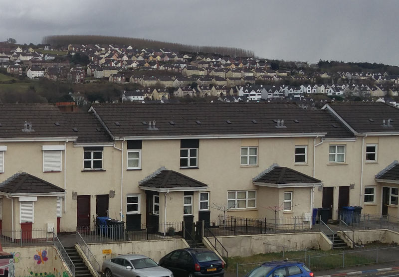
For November 2022 our ‘Map & Chat’ will focus on a few unmapped patches in Manorcunningham and around Galliagh in Derry. When these areas are completed we should have 100% building coverage for County Donegal and Derry City. Newcomers are Read more
OpenStreetMap Ireland hold monthly online meetups to chat and map various places. For October we plan on doing a small project of mapping the seaside village of Ballywalter in County Down. The aim is to demonstrate how to get started Read more
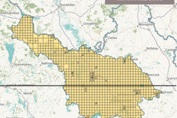
On October 3rd, the Leitrim task within the #osmIRL_buildings project was finished, i.e. mapped to 100% (8% validated). It had been re-opened around August 1st (we don’t exactly remember, but the ohsome.org statistics suggest that date). In the West of Read more
OpenStreetMap Ireland Annual General Meeting. Date: Sat, Sep 17 · 11:00 AM Location: Gamma, 4 Inns Court, Winetavern Street, Dublin, D08 XY00 Online: Online joining instructions will be sent out via Meetup to anyone that RSVPs, and OSM Ireland members. Read more
This weekend, OpenStreetMap contributors from across the planet are meeting in Firenze, Italy.
Inspired by the Celtic beginning of Spring “Imbolc”, on February 1st, we at OpenStreetMap Ireland are inviting you to a month-long spring clean on openstreetmap.org. We understand “spring cleaning” as an effort of quality insurance which is of course very Read more
About Working Groups Much of the day-to-day management of OpenStreetMap is handled by Working Groups. These are operated by volunteers motivated by a common theme. Many of the key services of OSM, like keeping the servers running, have traditionally been Read more
OpenStreetMap Ireland are happy to be working with OSMUK board who have set their quarterly target to map buildings in the north. A new mission/task has been created on the OSM Ireland Task Server to keep mapping coordinated. The City Read more
We are having a virtual “map and chat” event: Thursday the 20th of January, 8pm. This will be a casual event for some mapping and conversation around OSM. All welcome, no prior experience with OpenStreetMap required. Details: https://osmcal.org/event/1135/Location: https://chat.openstreetmap.iePassword: open
2021 was a busy year for OpenStreetMap Ireland. With the primary focuses being the OSMF Microgrant project and OSM Ireland Buildings project it was supporting. OSMF Microgrant We received just shy of €2000 in September of 2020 from the OpenStreetMap Read more