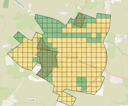
For our map & chat event on February 23rd, we had decided on creating a task in the taskmanager for the village of Lusk in Co. Dublin. A-Ka aka b-unicycling had chosen Lusk while she was mapping National Monuments in Ireland (read more in her diary) and noticed missing buildings in Lusk. There were also rumours of thatched buildings. In the task, priority areas where established using Bing imagery where buildings were missing, partly due to new housing developments.
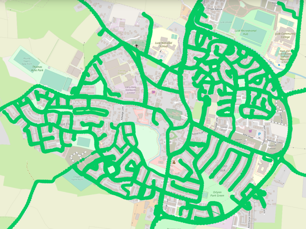
Mapillary coverage was already quite good, if somewhat outdated in places. Contributors b-unicycling and DeBigC decided to go to Lusk for a few hours and fill in the gaps. VictorIE had pointed out some important areas as well. DeBigC drove around with his dashcam (mapillary), whereas b-unicycling (mapillary) walked around the area of the National Monument with a 360° camera. They also checked out a café “for research” and added the toilets to OSM. One AED was spotted in the wild and mapped as well.
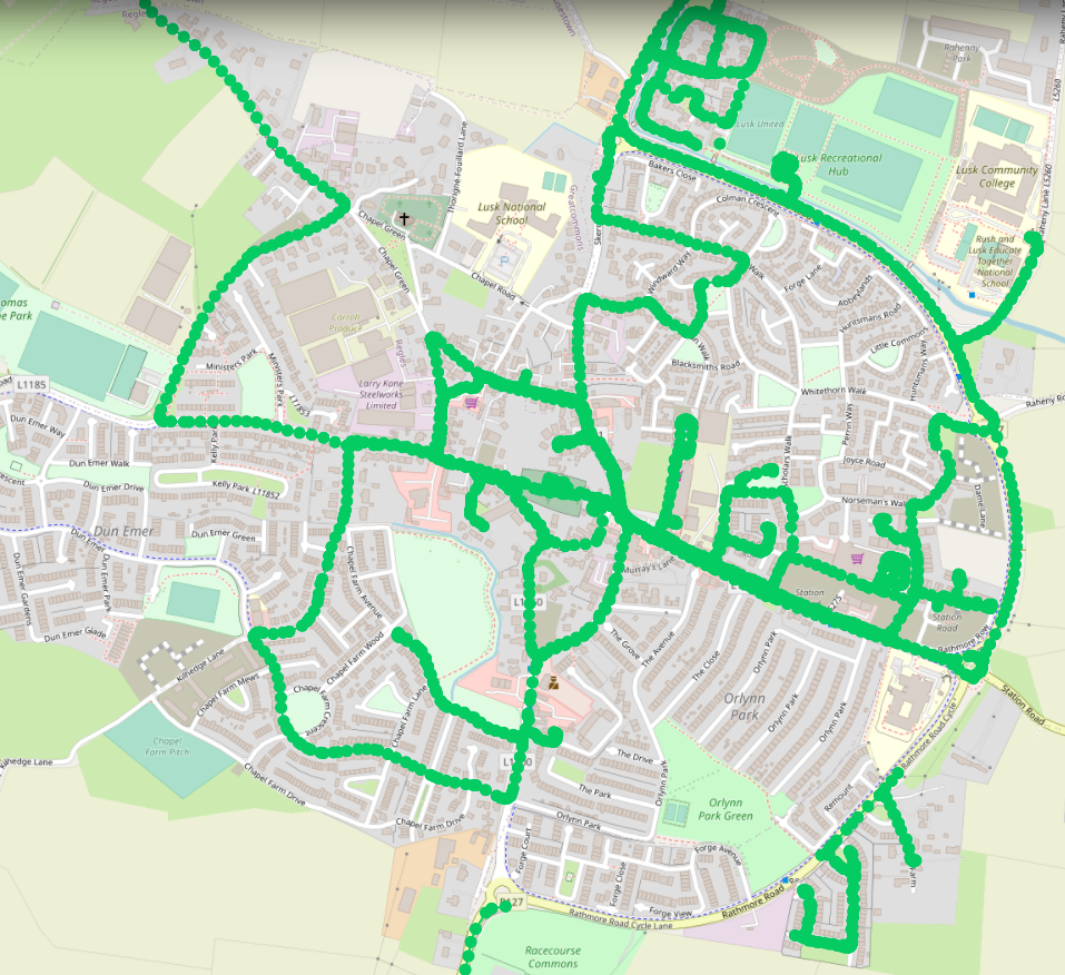
We were well prepared for the map & chat; thankfully the mapillary was up and running in time. The turnout on the night was 4 participants. The priority areas were mapped during that time, and the task was finished the day after. Bing imagery was very clear and fairly recent which helped a lot.
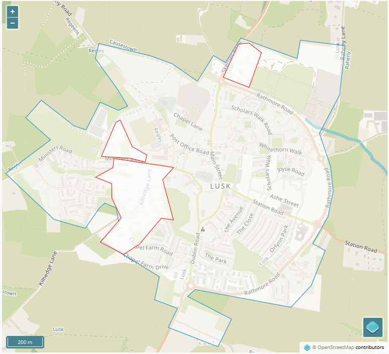
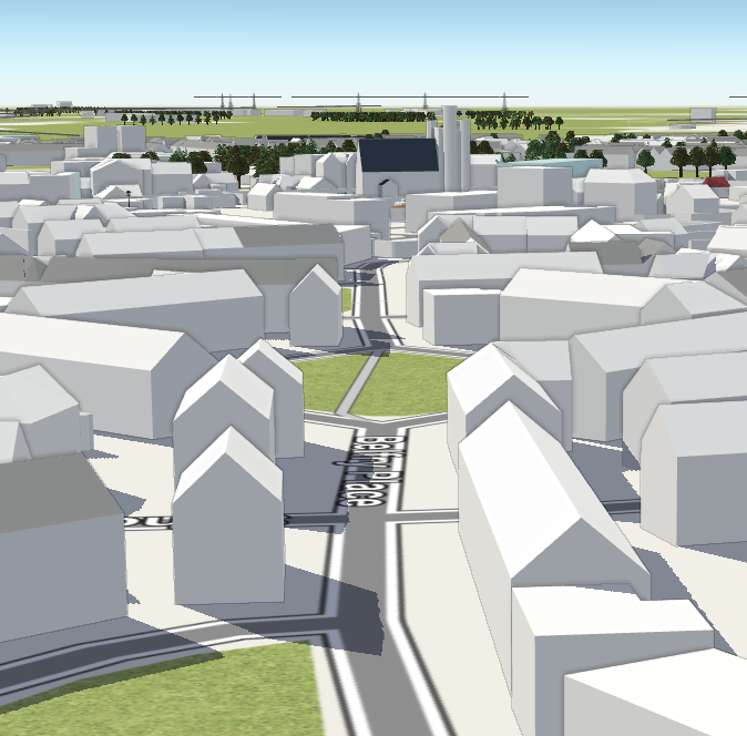
In the following days, VictorIE and b-unicycling continued adding more details such as 3D tags and street furniture. The height of the round tower was found on wikipedia and the church “reconstructed” around that height. VictorIE discovered that the developers seemed to have left vistas to the round tower. To show this, the 3D mapping and f4maps came in handy.
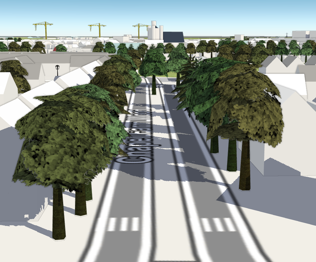
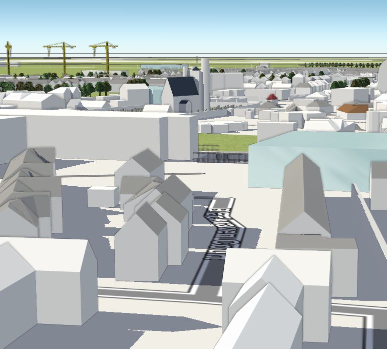
Work continues on adding more 3D tags and street furniture, and the task is not completely validated yet. So please join in to make Lusk an excellent example of detailed mapping!