
Meetups
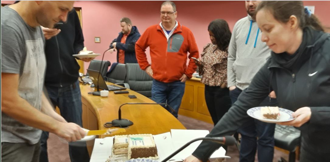
OpenStreetMap Ireland AGM 2024
Join us on September 21 for the AGM of the OSM Ireland chapter…
Join us on September 21 for the AGM of the OSM Ireland chapter…
Mapper b-unicycling has had an article published about her discoveries in the Anglo Celt: An “armchair archaeologist” has literally put ancient Cavan crannógs on the map. Anne-Karoline Distel has discovered three previously unrecorded crannógs, which have been confirmed by the National Monuments Service. The historic structures are located in Parisee Read more
OpenStreetMap Ireland Annual General Meeting. Date: Sat, Sep 17 · 11:00 AM Location: Gamma, 4 Inns Court, Winetavern Street, Dublin, D08 XY00 Online: Online joining instructions will be sent out via Meetup to anyone that RSVPs, and OSM Ireland members. We will cover the state of OpenStreetMap in Ireland. An Read more
This weekend, OpenStreetMap contributors from across the planet are meeting in Firenze, Italy.
Inspired by the Celtic beginning of Spring “Imbolc”, on February 1st, we at OpenStreetMap Ireland are inviting you to a month-long spring clean on openstreetmap.org. We understand “spring cleaning” as an effort of quality insurance which is of course very important when working with a dataset used the world over. Read more
About Working Groups Much of the day-to-day management of OpenStreetMap is handled by Working Groups. These are operated by volunteers motivated by a common theme. Many of the key services of OSM, like keeping the servers running, have traditionally been operated by specific Working Groups. These WGs are in principle Read more
OpenStreetMap Ireland are happy to be working with OSMUK board who have set their quarterly target to map buildings in the north. A new mission/task has been created on the OSM Ireland Task Server to keep mapping coordinated. The City of Derry/Londonderry sits on the river Foyle, only a few Read more
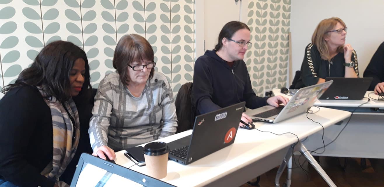
We are having a virtual “map and chat” event: Thursday the 20th of January, 8pm. This will be a casual event for some mapping and conversation around OSM. All welcome, no prior experience with OpenStreetMap required. Details: https://osmcal.org/event/1135/Location: https://chat.openstreetmap.iePassword: open
2021 was a busy year for OpenStreetMap Ireland. With the primary focuses being the OSMF Microgrant project and OSM Ireland Buildings project it was supporting. OSMF Microgrant We received just shy of €2000 in September of 2020 from the OpenStreetMap Foundation (OSMF). With the project running for one calendar year, Read more
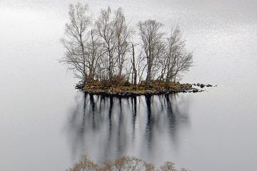
Observers of our current project, the mapping of the Wild Atlantic Way, will have spotted that things are a little delayed. There are a few reasons for this, but one relates to the fact that it is, indeed, a bit Wild in places and that it can be hard to Read more
OpenStreetMap is not merely a map of roads, buildings, land uses, coastal areas and mountain tops. OpenStreetMap contains many hidden treasures, which take the form of wonderful and obscure boundaries. These have been added by Ireland’s OpenStreetMap contributors, in the hope that such things will provide some context to places, Read more
The financial year of 2020 was the first year of trading for OpenStreetMap Ireland Company Limited By Guarantee. The financial year ran from the 20th of November 2018, to the 30th of April 2020. All revenue from for the financial year was generated from memberships. Euro GBP Memberships: Student: 2 Read more
Openstreetmap Ireland is proud to announce our new Youtube page for videos related to mapping on the island of Ireland, starting with a tutorial for a complete beginner to start contributing to the Building Ireland project which can be watched here. We will be putting out more in-dept tutorials for Read more
We are currently working to arrange events around the island of Ireland for 2020, in coordination with our new community project that will be announced soon. There will be mixture of online events and events around the island of Ireland, similar to 2019 that collaborate with universities, a hackerspace and Read more
As mentioned in the post on the Newry mapathon high quality drone imagery was available to map with. Here is a tutorial on how to access it and use it in the ID editor or JOSM for mapping. To access this wonderful imagery go to www.openaerialmap.org, first go to click Read more
The Saturday after the Newry Mapathon it was back down to NUI Galway, and the Insight centre, which after our presentation and workshops a couple of months before, held an OSM event as part of the Galway Science & Technology Festival. Local, veteran mapper and the ever busy Dave Corley, Read more
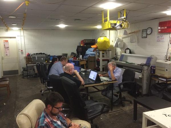
On the 16th of Nov Newry Digital, a group dedicated to building the local tech community held an OpenStreetMap Mapathon event as part of their work to build up employment in the area. There was attendance from children to adults who know about the place from the groups work running Read more
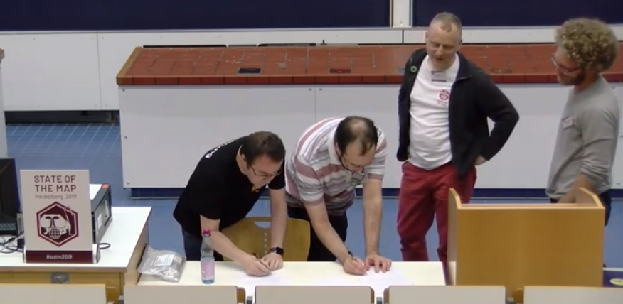
In 2008 the State of the Map was held in Limerick, Ireland and ever since there have been utters and suggestions that there should be an official local chapter in Ireland. Roll on to State of the Map 2019 and OSM Ireland has now recognised by the Open Street Map Read more

Well we have finally hit 95% townland coverage for the entire island!! It definitely feels like we are on the home stretch now and will hit 100% coverage in a few months time. The following is a screen-shot from www.townlands.ie And a map showing the areas which have still Read more