OpenStreetMap Ireland are happy to be working with OSMUK board who have set their quarterly target to map buildings in the north. A new mission/task has been created on the OSM Ireland Task Server to keep mapping coordinated.
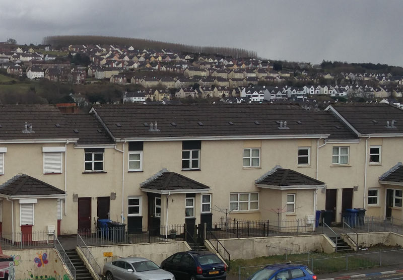
The City of Derry/Londonderry sits on the river Foyle, only a few miles from the border in Ireland. The task is a joint initiative of osmIRL and osmUK as both chapters are active and interested in mapping the area. There is some good detail on buildings, especially on the east bank of the Foyle. However, parts of the middle of the city are not mapped, and this may involve mapping tall buildings, terraces, as well as semi-detached houses. Follow the tasks instructions on the use of tags.


1 Comment
Dennis Stosky · 16-Apr-2022 at 22:47
Good day!! I am in Nova Scotia, Canada. We have booked and eagerly anticipate a fly and drive tour of Ireland for Aug – Sep this year. I am looking for an OpenStreetMap of Ireland that I can load into my automotive Garmin GPS. Please, can you offer any instruction on where I can download an appropriate OpenStreetMap of your lovely country?? Thanks so much, Dennis Stosky dstosky@gmail.com
Comments are closed.