The Saturday after the Newry Mapathon it was back down to NUI Galway, and the Insight centre, which after our presentation and workshops a couple of months before, held an OSM event as part of the Galway Science & Technology Festival. Local, veteran mapper and the ever busy Dave Corley, who works full time and studies, took time the time to arrange it and keep the momentum going. This years festival placed an emphasis on citizen science by getting local people involved in science projects through data analytics that would normally stay within the walls of academia, with a focus on climate. Like in Newry the conversation was around how different disciplines can be useful to each other in an interdisciplinary way, which OpenStreetMap fits into this neatly as it is about representing the world we live in a meaningful way to our different interests. Giving us a collective set of data to say look at natural areas, roads, housing, etc, since a problem needs to be defined if it can be solved.
In the audience, as well as the usual dedicated mappers were people from cycling campaigners, to local government and students and faculty from the university. Who all had an interest in the practical side of how the map is made and how the could get out data that could make there lives easier. Dave is also experienced at giving tutorials, had a three page document to accompany the lesson afterwards, explained how with a point, a line and an area we can represent the world. He has mapped most of the main city, but also represented the natural area around the local coastline in what I can only describe as being done with artistry, showing that dual condition of habitation and ecosystem we need to maintain. If you want to delve into learning mapping with Dave, you can see how it is done in Lesotho and for the Townlands project.
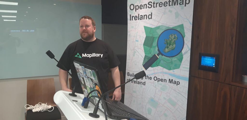
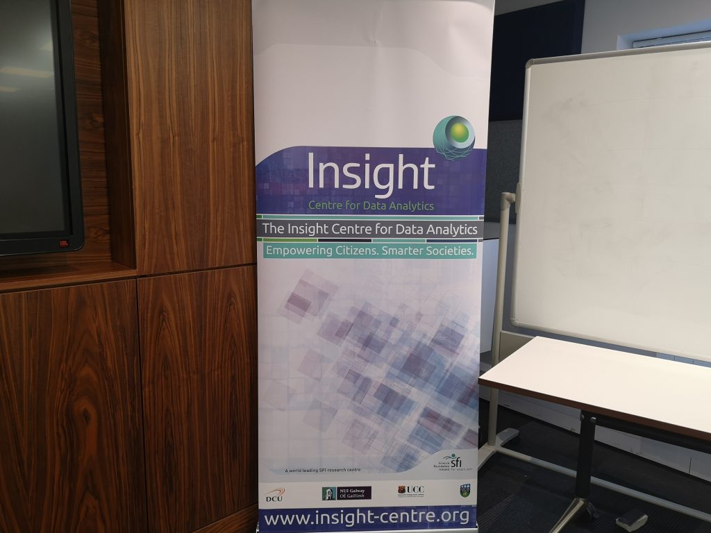
This was also a proud moment for us in OSMI, that with the collection of membership fees we were able to get a banner as part of our promotional activity to show behind the speakers.
As usual interesting conversations were had during the break in small clumps as people asked detailed question relevant to their interests over tea/coffee and cake. After which the participants heard an exclusive explanation for the upcoming big project to be launched next year, which was given a beta test in the real world, in terms of how it was explained and the software used to run the project. It is too early to talk about it here, but if you happen to make it to Kilkenny, we might be able to tell you in person. We can promise you it will be big in its scope and relevance to mapping Ireland in its current environment.
A big thank you to everyone in Galway for having us back.