Kilkenny History Mappers
2nd Kilkenny History Mappers’ Meeting
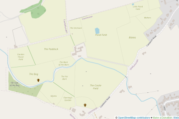
Our little group had gotten some promotion on the local radio station Community Radio Kilkenny City or CRKC where Anne aka b-unicycling was interviewed last week (listen back on Souncloud) about the group and OpenStreetMap in general. We met tonight in Bollard’s Bar where five people attended, four of which Read more