OSM Ireland Buildings
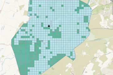
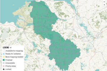
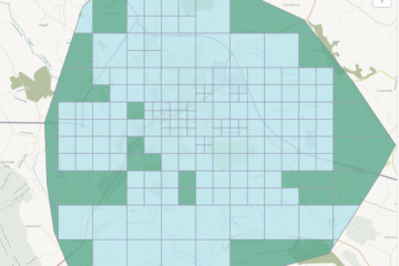
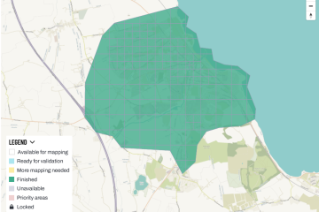
Balbriggan Task Finished
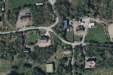
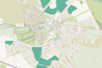
The Balbriggan task was created by DeBigC in November 2020, but had been neglected and put into draft status for a while in favour of larger tasks. It was re-activated in May 2023, and the mapping was finished shortly after. Validation took another month or so. Contributors Contributor Tasks mapped Read more