OpenStreetMap Ireland was recently selected as one of the recipients of a OSMF 2020 microgrant. Our application: Microgrants 2020 – Proposal – OSM Ireland Buildings.
As OSM Ireland we are keen to get as many people as possible to take part in the OSM Ireland Buildings project. Where we are adding all of Ireland’s roughly 5.5 million buildings to OpenStreetMap as a community effort.
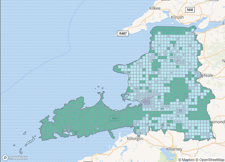
To encourage this we will be giving away stickers for milestone achievements as a small incentive. The progress of levels will be measured in tiles. On our tasking manager, we have split Ireland into small squares, called tiles.
The achievements being:
| Level | Requirement |
| Bronze | First tiles completed and verified in the tasking manager |
| Silver | 10 tiles completed |
| Gold | 100 tiles completed |
| Platinum | 1000 tiles completed |
| Validator | 150 tiles validated |
But we need your help!
We need a design for the stickers.
Five designs, one for each level. These can either incorporate the level colors, or the level names in the design. But each level should be clear from the sticker.
A winner will be chosen by a vote of all registered members of OSM Ireland.
The winner of the design contest will receive our ever lasting gratitude, glory, and a small OSM Ireland goody bag of branded stickers.
Technical details:
Maximum size of 5cm x 5cm for each sticker.
The design should preferably fit with one of the shapes available at stickers international, but a custom shape may be possible if required. We need to be able to order the stickers in bulk.
It must be your own work and not contain any copyrighted data (OSM data and openly licensed data is fine). The final sticker designs will be licensed under Creative Commons.
All submissions must be made by Friday the 23rd of October 2020. To:
board [] openstreetmap.ie
Any questions, please reach out to us on the e-mail address or twitter.
3 Comments
evelyne daily · 18-Oct-2020 at 21:15
how much does a sticker cost to produce, in Ireland?
IpswichMapper · 20-Oct-2020 at 20:56
Here is the microgrants proposal, which covers costs:
https://wiki.openstreetmap.org/wiki/Microgrants/Microgrants_2020/Proposal/OSM_Ireland_Buildings
IpswichMapper · 20-Oct-2020 at 20:55
Hello,
This is great project you are embarking on. I assume housenumbers aren’t freely available in Ireland, just like the UK, so could you suggest mappers you are going to do this to specify the type of building that they are going to enter? This is incredibly useful, because as soon as building type is specified, StreetComplete asks users for the housenumber of the building. This essentially means anyone with enough knowledge to use Streetcomplete can enter housenumbers.
The tagging scheme I use to make buildings streetcomplete-ready is to specify the type of building (which is building=house 90% of the time), as well as add the street & the imagery source.
Adding the street is also useful, so that when someone enters a housenumber using Streetcomplete, a full street+housenumber address is formed. The problem is that this is more error prone, especially for newer users. When a building is on the edge of the street, one can easily mistake the street a house is on.
I cover this in more detail in my diary blog entry here:
https://www.openstreetmap.org/user/IpswichMapper/diary/394485
The problem is that this requires buildings to be properly terraced by looking for fences in the backyard. I assume most mappers won’t do this, and they also use iD, making this even harder to do. Neverthless, even if buildings aren’t terraced, one can enter multiple housenumbers for a single building in streetcomplete.
If this could be suggested it could be really useful to help improve housenumber data along with building data.
Thanks,
IpswichMapper
Comments are closed.