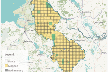
Open Data
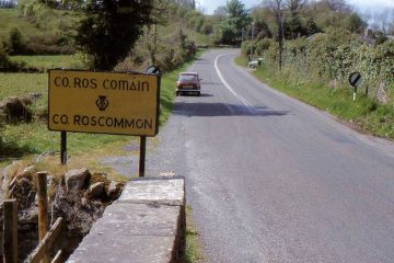
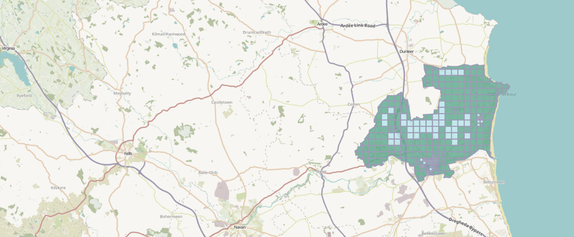
Drogheda Task Finished
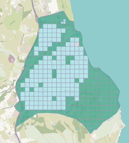
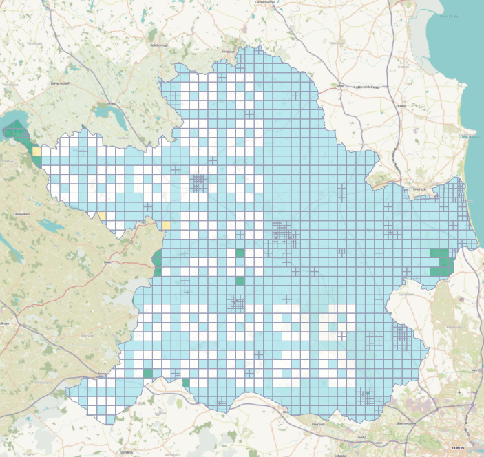
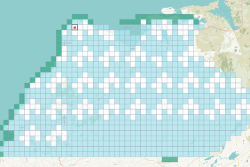
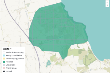
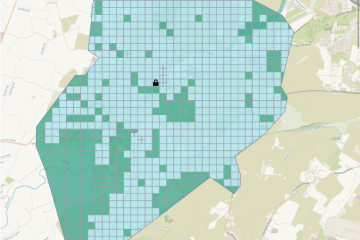
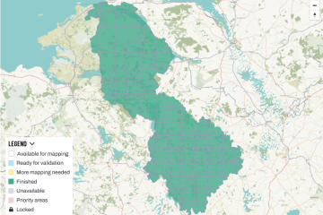
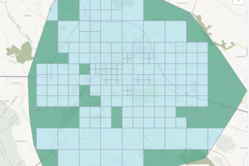
The Drogheda task was finished on November 6th 2023, but is still awaiting some validation (EDIT 2023-12-16: All done now.). The task comprised of Drogheda town and rural areas to the north of the town. It had, once again, been one of those tasks that had been parked in 2020 Read more