Open Data
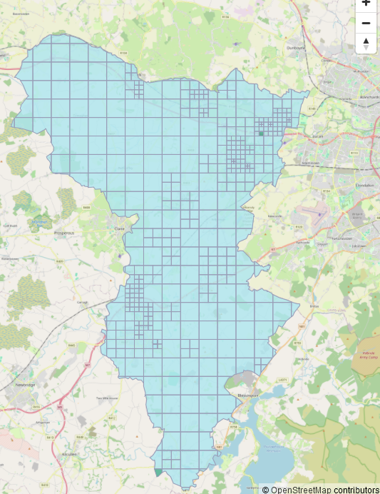
Dundalk Task Complete
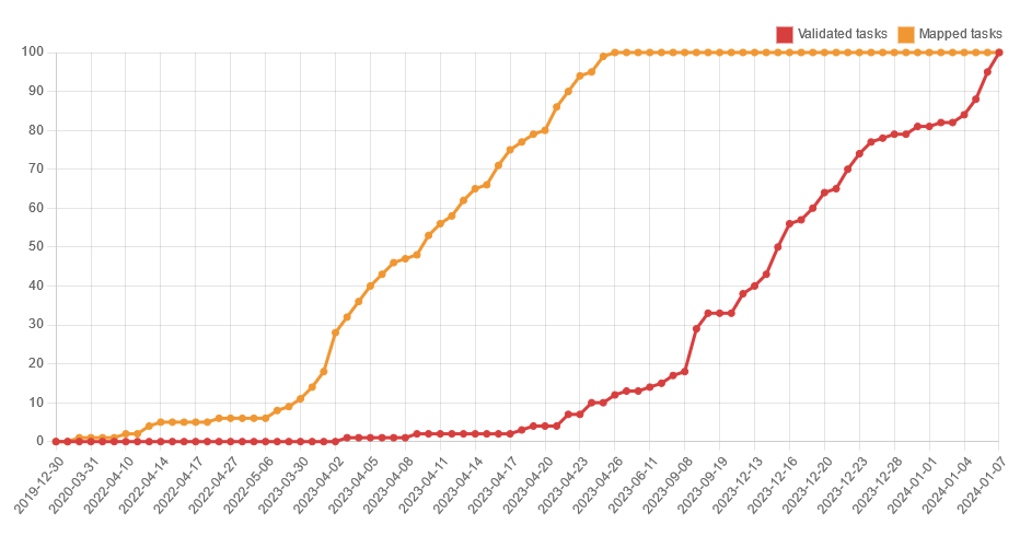
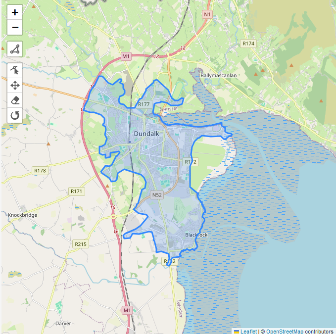
Now, I’m a bit late with this report, but better late than never. This was a very small and thus short-lived task, created on November 2nd 2024 and finished mapping by November 10th, then validation finished on November 19th. A lot of the town had already been mapped which explains Read more