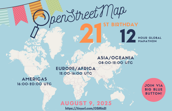
OSM 21st Birthday Online Mapathon
The OpenStreetMap 21st Anniversary Birthday party will be celebrated on 9th August 2025, from 1pm to 5pm Irish Time feel free to join the online meetup at: https://osmvideo.cloud68.co/user/joo-nq7-ghw
b-unicycling celebrates a 10 millionth edit and OpenStreetMap’s recent 20th anniversary by live stream mapping in East Mayo using the JOSM editor. You can join in with the task here: https://tasks.openstreetmap.ie/projec…. The video describes settings and plugins.
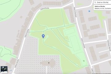
Overview OpenStreetMap Ireland identified a need for a map of Ireland showing place names in the Irish language (Gaeilge) and to encourage more Irish language additions to OpenStreetMap (OSM). Some other mapping services show only town names in Irish when Irish is set as the preferred language in the web Read more
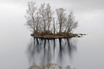
Mapper b-unicycling has had an article published about her discoveries in the Anglo Celt: An “armchair archaeologist” has literally put ancient Cavan crannógs on the map. Anne-Karoline Distel has discovered three previously unrecorded crannógs, which have been confirmed by the National Monuments Service. The historic structures are located in Parisee Read more
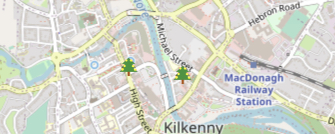
For some fun this Christmas we would like to tag as many public Christmas trees as possible. Add the trees in your local area using the tags: In JOSM that might look like: The trees can be visualised on Overpass Turbo Instruction video for adding Christmas Trees using the OSMAnd Read more
Prolific mapper b-unicycling has recently been acknowledged in the Kilkenny People for her discoveries of previously unrecorded crannogs. Anne-Karoline Distel discovered the crannogs while mapping the County Cavan task, reporting them to the National Monuments Service. This discovery adds to her previous finds of enclosures in County Tipperary in May Read more
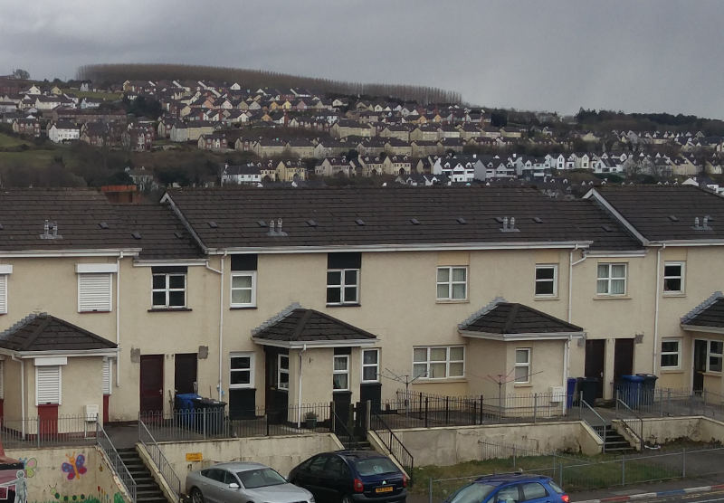
For November 2022 our ‘Map & Chat’ will focus on a few unmapped patches in Manorcunningham and around Galliagh in Derry. When these areas are completed we should have 100% building coverage for County Donegal and Derry City. Newcomers are always welcome to our ‘Map & Chat’ online events as Read more
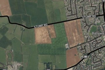
OpenStreetMap Ireland hold monthly online meetups to chat and map various places. For October we plan on doing a small project of mapping the seaside village of Ballywalter in County Down. The aim is to demonstrate how to get started contributing to OpenStreetMap so newcomers are welcome. The online meetup Read more
OpenStreetMap Ireland are happy to be working with OSMUK board who have set their quarterly target to map buildings in the north. A new mission/task has been created on the OSM Ireland Task Server to keep mapping coordinated. The City of Derry/Londonderry sits on the river Foyle, only a few Read more