OpenStreetMap IrelandOpenStreetMap Ireland
  • Home
  • About
    • Membership
    • Corporate Members
    • Member Login
    • Who uses OpenStreetMap?
  • Learning
    • For Beginners
    • For Historians
      • How to fix wrong townland names spotted on townlands.ie
    • For Educators
    • For Developers
    • Tools
      • Mapillary street-level imagery
      • Panoramax Street-Level Imagery
      • OSMAnd Mobile App
      • Visualising Your Contributions
      • Using overpass-turbo to extract data from OpenStreetMap
  • Missions
    • AED Defibrillator Mapping
    • Current Mission Tasks
    • Completed Missions
      • Mapping Progress per County
      • Balbriggan
      • Celbridge
      • Connemara
      • County Cavan
      • County Clare – North
      • County Donegal
      • County Leitrim
      • County Roscommon
      • Longford Town
      • #MapLesotho
      • MapPatrick 2021
      • Wild Atlantic Way
  • News
  • Léarscáil
  • Contact

Wild Atlantic Way

OSM Ireland Buildings

Task Between Macroom and Cork Finished

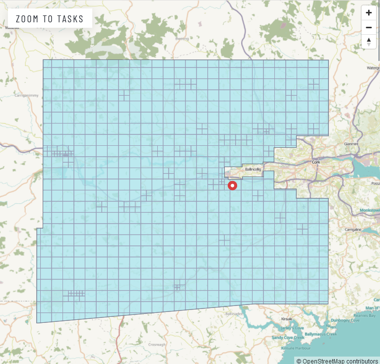
There have been attempts to map the buildings in the very large county of Cork for a while; parts were covered by the WildAtlanticWay efforts, and other tasks for Cork had been created. This one focused on the area roughly between Macroom and Cork (leaving out Cork city), because it Read more

By Anne-Karoline, 2 years03-Mar-2024 ago
Wild Atlantic Way mapping

Adding to the Wild Atlantic Way relation using JOSM

Open JOSM. In overpass-turbo, search for “name”~”Wild Atlantic Way” and change the output file to xml ([out:xml]) or click here to open the query. The Wild Atlantic Way (WAW) has been split into sections so as not to go over the 2000 suggested member limit on relations. So the sections Read more

By Anne-Karoline, 5 years24-May-2021 ago
Wild Atlantic Way mapping

Mapping the Wild Atlantic Way

On May 10th, travel outside your county becomes possible due to a lowering of the Covid-19 alert level in the Republic. OpenStreetMap Ireland CLG directors are so pleased with this news that we are going to organise a very special mapping campaign, like none before. With Ireland opening up a Read more

By debigc, 5 years09-May-2021 ago
Recent Posts
  • Using Ohsome for Task Server Projects
  • Mapping Complete on County Down
  • Belfast Mapping Event
  • Belfast Mapathon
  • North Co. Galway task mapping finished
Upcoming Events (Global)
  • Frühlingsmapping 2026
  • Missing Maps : Mapathon en ligne - CartONG [fr]
  • Belgian Interuniversity Mapathon 2026
  • Bremer Mappertreffen
  • Rencontre OpenStreetMap et Territoires
  • FOSSGIS-Konferenz 2026
  • East Midlands pub meet-up
OSM for History Buffs
  • Creating a Wikidata item for a Historic Building
  • What is earth mortar and how can I record it using open data?
  • Michael Ring Blacksmith Gravestone #history #1798
  • Magnetic Cloister #experimentalarchaeology #3dprinting
  • Mapping Quin #openstreetmap #opendata #countyclare
Forum Discussions
  • New Tasking Manager project: Add Missing Buildings in Ballybricken, Ireland
  • Richmond Hill in Cork city
  • Lack of mapped buildings in some counties
  • Overpass server for Ireland and Britain
  • Anyone familiar with bus routings in Derry around Foyle St and Craigavon Bridge?

OpenStreetMap Ireland Company Limited Registered company number 638034

General
  • Log in
  • Entries feed
  • Comments feed
  • WordPress.org
Categories
Archives

  • Home
  • About
  • Learning
  • Missions
  • News
  • Léarscáil
  • Contact
Hestia | Developed by ThemeIsle

OpenStreetMap Ireland Cookies Policy

Our Website uses cookies to improve your experience. Please visit our Privacy Policy page for more information about cookies and how we use them.

Close