OpenStreetMap IrelandOpenStreetMap Ireland
  • Home
  • About
    • Membership
    • Corporate Members
    • Member Login
    • Who uses OpenStreetMap?
  • Learning
    • For Beginners
    • For Historians
      • How to fix wrong townland names spotted on townlands.ie
    • For Educators
    • For Developers
    • Tools
      • Mapillary street-level imagery
      • Panoramax Street-Level Imagery
      • OSMAnd Mobile App
      • Visualising Your Contributions
      • Using overpass-turbo to extract data from OpenStreetMap
  • Missions
    • AED Defibrillator Mapping
    • Current Mission Tasks
    • Completed Missions
      • Mapping Progress per County
      • Balbriggan
      • Celbridge
      • Connemara
      • County Cavan
      • County Clare – North
      • County Donegal
      • County Leitrim
      • County Roscommon
      • Longford Town
      • #MapLesotho
      • MapPatrick 2021
      • Wild Atlantic Way
  • News
  • Léarscáil
  • Contact

JOSM

Carlow town task
Open Data

Carlow Town Task Finished

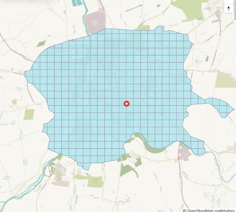
The Carlow County task had been one of the first to be finished since the start of the OSMIrl_buildings project started, finished in May of 2020, to be precise. Naturally, that mapping data had become somewhat out of date, so I decided to open a task for just the town Read more…

By Anne-Karoline, 7 months17-Nov-2024 ago
OSM Ireland Buildings

Mapping East Mayo

b-unicycling celebrates a 10 millionth edit and OpenStreetMap’s recent 20th anniversary by live stream mapping in East Mayo using the JOSM editor. You can join in with the task here: https://tasks.openstreetmap.ie/projec…. The video describes settings and plugins.

By Jonny McCullagh, 9 months14-Sep-2024 ago
Uncategorized

Using drone imagery of Newry

As mentioned in the post on the Newry mapathon high quality drone imagery was available to map with. Here is a tutorial on how to access it and use it in the ID editor or JOSM for mapping. To access this wonderful imagery go to www.openaerialmap.org, first go to click Read more…

By Tad Cantwell, 6 years25-Nov-2019 ago
Recent Posts
  • OpenStreetMap Ireland online meetup – May 2025
  • Louth (minus Dundalk) Task Mapped
  • Dundalk Task Complete
  • How to fix wrong townland names spotted on townlands.ie
  • Panoramax Street-Level Imagery
Upcoming Events (Global)
  • OpenStreetMap x Wikidata Taipei #77
  • 2025 júniusi OSM találkozó Budapesten
  • OSM Utah Monthly Map Night
  • South Bay Map Night
  • Reunião da UMBRAOSM
  • Hamburger Mappertreffen
  • LUGN154: OSM lightning talk bij Linux Nijmegen
OSM for History Buffs
  • Searching old street names in OpenStreetMap
  • From gravestone to 3D model - photogrammetry and heritage
  • St Moling's Well Listerlin
  • Rathlogan: Tobar na súil
  • Kiltrassy Church Well
Forum Discussions
  • Old Ordnance Survey maps in JOSM
  • Missing Post Offices in Northern Ireland
  • Ireland – Fix Incorrect Highway Junctions
  • Finding broken relations with Overpass
  • Ireland - Fix Spiky Buildings (updated)

OpenStreetMap Ireland Company Limited Registered company number 638034

General
  • Log in
  • Entries feed
  • Comments feed
  • WordPress.org
Categories
Archives

  • Home
  • About
  • Learning
  • Missions
  • News
  • Léarscáil
  • Contact
Hestia | Developed by ThemeIsle

OpenStreetMap Ireland Cookies Policy

Our Website uses cookies to improve your experience. Please visit our Privacy Policy page for more information about cookies and how we use them.

Close