Open Data
Townland boundary overpass links
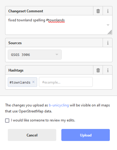
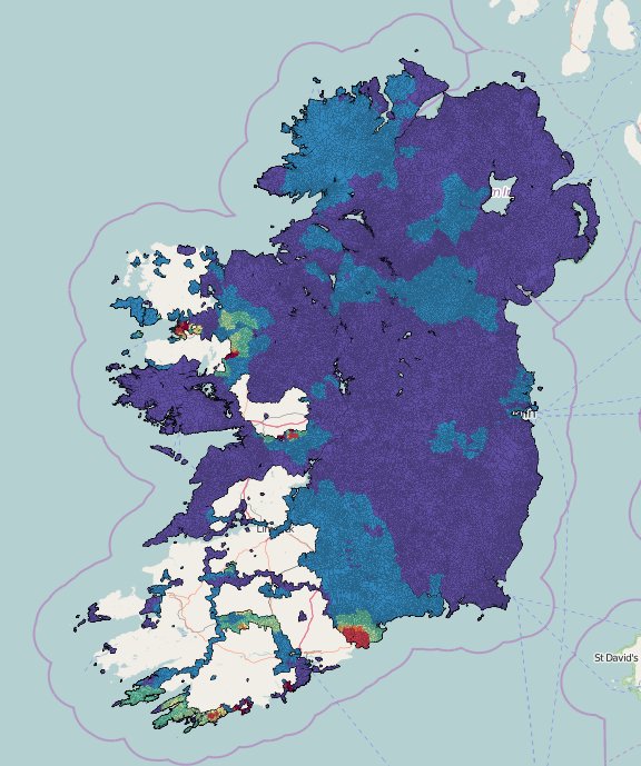
Since we get the question quite a lot of how to get up to date townland boundary data, here is a list of overpass-turbo links for each county. The file sizes per county can still be quite large, but hopefully it will help. Please hit “Run” after opening overpass-turbo, wait Read more