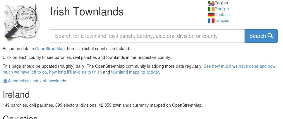
Townlands.ie is a project maintained by Rory McCann, which shows Ireland’s historic and current administrative divisions using data from OpenStreetMap.org and Logainm.ie. He has called for people to help translate the site into different languages. Some of you using the site may have already noticed that multiple language icons have popped up on the site.
The translation project is located at https://www.transifex.com/openstreetmap/irish-townlands/ and if you can help, please do.
Even if your language is complete, please take the time to double check the translations, as we would like townlands.ie to be useful for anyone, located anywhere.