Five days of mapping fun: Wed March 17th to Sunday March 21st

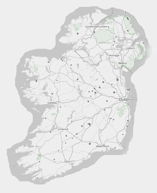
The Christian Saint – Patrick – may have lots of doubts over who he was, where he came from, when his adventures in Ireland happened, and how he achieved magical things like banishing all the snakes from this island. He inspires green painted faces, green dye in rivers and noisy parades in cities worldwide which normally happen on this day. People who live in Ireland and visit here, that encounter the legend as told by locals suddenly get a dose of certainty over where Patrick has visited, what he did there, and what remains today. The Irish obsession with places is strong, and there are over 75 townlands named after Patrick.
This year starting on Saint Patrick’s Day – 17th of March the OpenStreetMap community in Ireland will kick off five days of mapping in honour of the legendary saint.
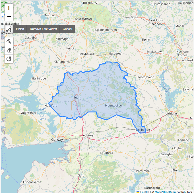
To start off with the community will be mapping every part of Ireland which bears a “Patrick” in the name of its townland. We have found 75 such townlands, so what we mean to do is map all of their buildings, whether they are houses, or shops or ruins. The townlands are mainly rural so we should be able to complete the buildings in a single day.
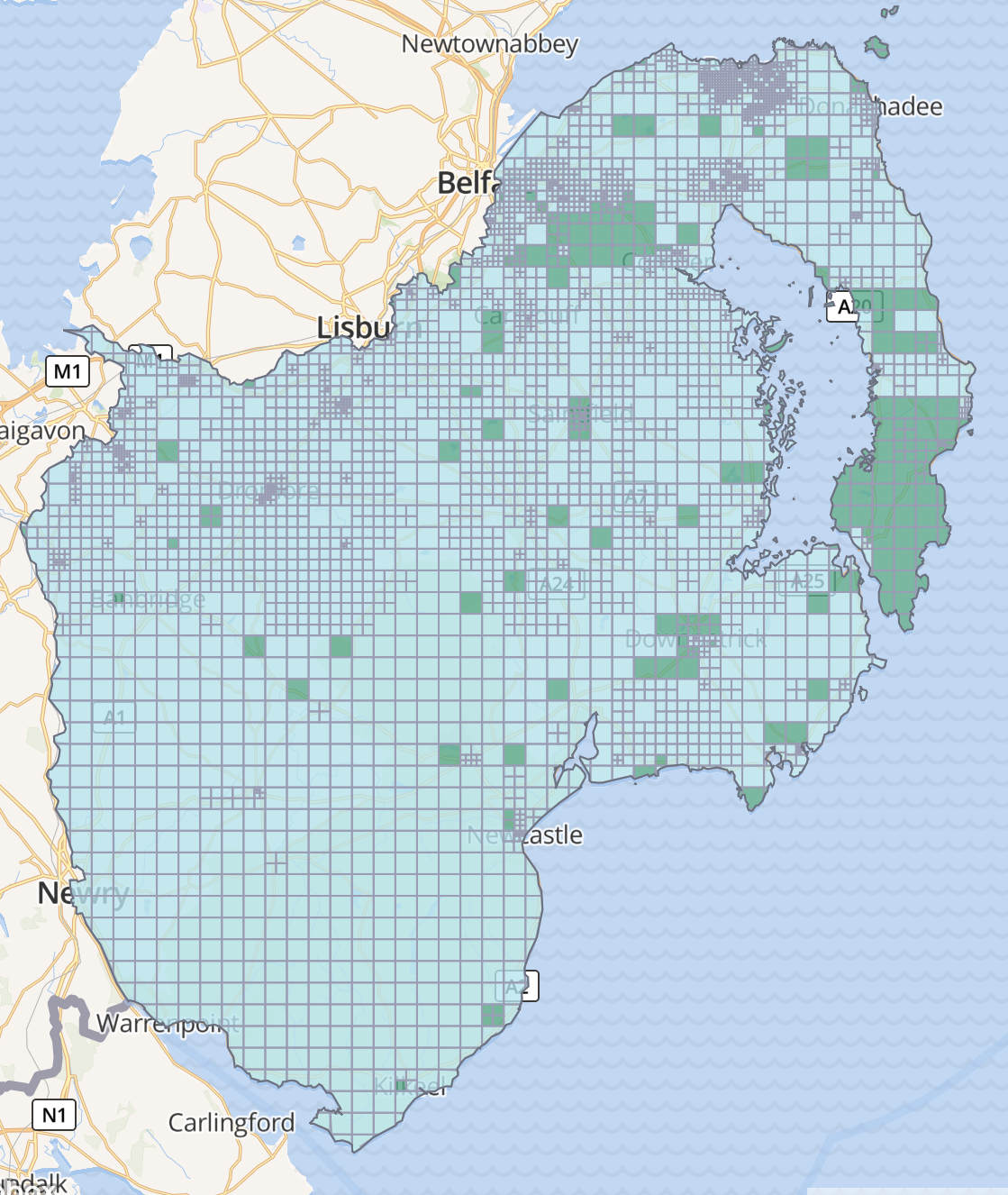
Then the focus will then shift to Armagh and Downpatrick.
Armagh is home to two cathedrals both named after Saint Patrick.
Downpatrick is named after Saint Patrick, who is believed to have lived there in the 5th century, and is reputedly buried in Down Cathedral.
| Date March | Mapping focus | Link to task |
| 17th | Townlands with Patrick in their name | Task Closed |
| 18th | Armagh | Click here |
| 19th | Downpatrick | Click here |
| 20th | Armagh | Click here |
| 21st | Downpatrick | Click here |
This is part of a mapping campaign that the OSM community in Ireland has been actively pursuing for the last two years. The advertising costs of the event are kindly supported by a microgrant from the OpenStreetMap Foundation.
We will also be running a number of online talks to coincide with the mapping. Feel free to drop in.
| Date March | Time UTC±00:00 | Topic |
| 17th | 11.00 -12.00 | Informal hangout to launch |
| 18th | 11.00-12.00 | Learn to map buildings in ID |
| 19th | 11.00-12.00 | Learning about the task manager |
| 20th | 10.00-11.00 | Working with Townlands in QGIS |
| 21st | 12.00-13.00 | Learn to Map Buildings in JOSM |
Would you like to help out? If you know how to map already please feel free to join in here.
It helps if you make an OpenStreetMap account beforehand. We will put Saint Patrick on the Map!
2 Comments
Tomás Hayes · 17-Mar-2021 at 17:18
Dont overlook Saint Patrick’s Bridge at Kilmore Quay in County Wexford visible a lower tides.
weeklyOSM 555 | weekly – semanario – hebdo – 週刊 – týdeník – Wochennotiz – 주간 – tygodnik · 14-Mar-2021 at 10:44
[…] celebrate this year’s St Patrick’s Day, the OpenStreetMap community in Ireland will map objects in places related to the saint and his associated legends. The campaign spans the five days […]
Comments are closed.