Townlands
A few targets hit this week – 28th November 2015
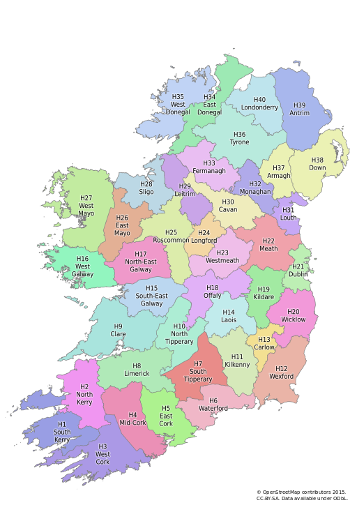
Firstly congratulations to Stephen_Co_Antrim on achieving 10,006 townland’s!! Given that there are approximately 64,000 townland’s in Ireland, he has completed about 1/6th of the Island all by himself! Meanwhile townland coverage stands at 45,424 (74.3%) with County Monaghan now 100%, with just County Cavan remaining to complete Ulster.