“Good puzzle would be cross Dublin without passing a pub,” muses Leopold Bloom in James Joyce’s classic novel Ulysses.
Back in 2011, our own Rory McCann answered this question as reported in the Guardian and showed how it could be done using OpenStreetMap as the source data. However, the data was incomplete with several pubs missing.
Rory went off, added more pubs, hotels and bars and ran the scenario again, with success, as reported in the Irish Independent
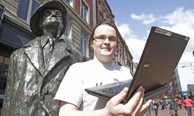
Rory & James….hacking on the solution?
As is often the case in the world of OpenStreetMap, someone has come along and looked to, if not improve upon the result, improve upon the method. This time, its the open source routing platform, GraphHopper. Check out how they did it.
![]()