OpenStreetMap IrelandOpenStreetMap Ireland
  • Home
  • About
    • Membership
    • Corporate Members
    • Member Login
    • Who uses OpenStreetMap?
  • Learning
    • For Beginners
    • For Historians
      • How to fix wrong townland names spotted on townlands.ie
    • For Educators
    • For Developers
    • Tools
      • Mapillary street-level imagery
      • Panoramax Street-Level Imagery
      • OSMAnd Mobile App
      • Visualising Your Contributions
      • Using overpass-turbo to extract data from OpenStreetMap
  • Missions
    • AED Defibrillator Mapping
    • Current Mission Tasks
    • Completed Missions
      • Mapping Progress per County
      • Balbriggan
      • Celbridge
      • Connemara
      • County Cavan
      • County Clare – North
      • County Donegal
      • County Leitrim
      • County Roscommon
      • Longford Town
      • #MapLesotho
      • MapPatrick 2021
      • Wild Atlantic Way
  • News
  • Léarscáil
  • Contact

Targets hit this week – 24th May 2016

Published by OSM Ireland on 24-May-2016

Well we have finally hit 95% townland coverage for the entire island!!  It definitely feels like we are on the home stretch now and will hit 100% coverage in a few months time.  The following is a screen-shot from www.townlands.ie

Townland_Progress


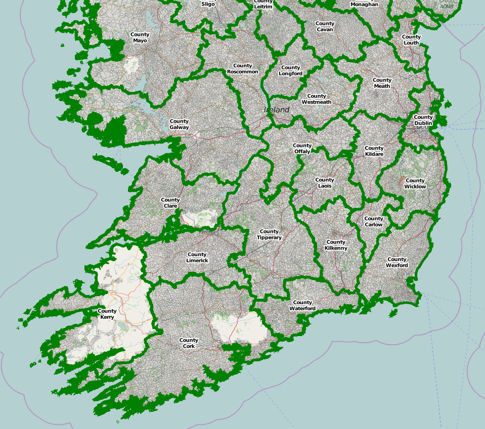
And a map showing the areas which have still to be done:

Townland_Coverage

Categories: Uncategorized

1 Comment

weeklyOSM 306 | weekly – semanario – hebdo – săptămânal – haftalık – 週刊 – týdeník – edisi · 03-Jun-2016 at 05:37

[…] OpenStreetMap community in Ireland blogged about having finally reached 95% townland coverage. (A townland is the small administrative […]

Comments are closed.

Recent Posts
  • OpenStreetMap Ireland online meetup – May 2025
  • Louth (minus Dundalk) Task Mapped
  • Dundalk Task Complete
  • How to fix wrong townland names spotted on townlands.ie
  • Panoramax Street-Level Imagery
Upcoming Events (Global)
  • Моршанская картопати 2025
  • OpenStreetMap x Wikidata Taipei #77
  • 2025 júniusi OSM találkozó Budapesten
  • OSM Utah Monthly Map Night
  • Reunião da UMBRAOSM
  • Hamburger Mappertreffen
  • South Bay Map Night
OSM for History Buffs
  • Searching old street names in OpenStreetMap
  • From gravestone to 3D model - photogrammetry and heritage
  • St Moling's Well Listerlin
  • Rathlogan: Tobar na súil
  • Kiltrassy Church Well
Forum Discussions
  • Old Ordnance Survey maps in JOSM
  • Missing Post Offices in Northern Ireland
  • Ireland – Fix Incorrect Highway Junctions
  • Finding broken relations with Overpass
  • Ireland - Fix Spiky Buildings (updated)

Related Posts

Meetups

OpenStreetMap Ireland AGM 2024

Join us on September 21 for the AGM of the OSM Ireland chapter...

Meetups

OpenStreetMap Ireland AGM 2023

Join us on November 4 for the AGM of the OSM Ireland chapter...

Uncategorized

Armchair archaeologist locates unknown crannógs

Mapper b-unicycling has had an article published about her discoveries in the Anglo Celt: An “armchair archaeologist” has literally put ancient Cavan crannógs on the map. Anne-Karoline Distel has discovered three previously unrecorded crannógs, which Read more…

OpenStreetMap Ireland Company Limited Registered company number 638034

General
  • Log in
  • Entries feed
  • Comments feed
  • WordPress.org
Categories
Archives

  • Home
  • About
  • Learning
  • Missions
  • News
  • Léarscáil
  • Contact
Hestia | Developed by ThemeIsle

OpenStreetMap Ireland Cookies Policy

Our Website uses cookies to improve your experience. Please visit our Privacy Policy page for more information about cookies and how we use them.

Close