OpenStreetMap IrelandOpenStreetMap Ireland
  • Home
  • About
    • Membership
    • Corporate Members
    • Member Login
    • Who uses OpenStreetMap?
  • Learning
    • For Beginners
    • For Historians
      • How to fix wrong townland names spotted on townlands.ie
    • For Educators
    • For Developers
    • Tools
      • Mapillary street-level imagery
      • Panoramax Street-Level Imagery
      • OSMAnd Mobile App
      • Visualising Your Contributions
      • Using overpass-turbo to extract data from OpenStreetMap
  • Missions
    • AED Defibrillator Mapping
    • Current Mission Tasks
    • Completed Missions
      • Mapping Progress per County
      • Balbriggan
      • Celbridge
      • Connemara
      • County Cavan
      • County Clare – North
      • County Donegal
      • County Leitrim
      • County Roscommon
      • Longford Town
      • #MapLesotho
      • MapPatrick 2021
      • Wild Atlantic Way
  • News
  • Léarscáil
  • Contact

osmuk

Uncategorized

OSMUK Mapping Task

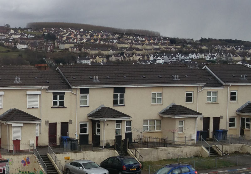
OpenStreetMap Ireland are happy to be working with OSMUK board who have set their quarterly target to map buildings in the north. A new mission/task has been created on the OSM Ireland Task Server to keep mapping coordinated. The City of Derry/Londonderry sits on the river Foyle, only a few Read more

By Jonny McCullagh, 4 years ago
Recent Posts
  • Belfast Mapping Event
  • Belfast Mapathon
  • North Co. Galway task mapping finished
  • North Co. Clare validation complete!
  • Townland boundary overpass links
Upcoming Events (Global)
  • Missing water Bodies of Delhi
  • Friends of MSF UWO Mapathon
  • Cartopartie - Tournée To
  • Mappy Hour OSM España
  • OSM Utah Monthly Map Night
  • Hamburger Mappertreffen
  • Logitech Missing Maps - Office Mapathon
OSM for History Buffs
  • What is earth mortar and how can I record it using open data?
  • Michael Ring Blacksmith Gravestone #history #1798
  • Magnetic Cloister #experimentalarchaeology #3dprinting
  • Mapping Quin #openstreetmap #opendata #countyclare
  • Mapping Eleventh Night Bonfires Sites on OpenStreetMap
Forum Discussions
  • Lack of mapped buildings in some counties
  • Overpass server for Ireland and Britain
  • Anyone familiar with bus routings in Derry around Foyle St and Craigavon Bridge?
  • Remove English from Gaeltacht placenames
  • Archaeological site

OpenStreetMap Ireland Company Limited Registered company number 638034

General
  • Log in
  • Entries feed
  • Comments feed
  • WordPress.org
Categories
Archives

  • Home
  • About
  • Learning
  • Missions
  • News
  • Léarscáil
  • Contact
Hestia | Developed by ThemeIsle

OpenStreetMap Ireland Cookies Policy

Our Website uses cookies to improve your experience. Please visit our Privacy Policy page for more information about cookies and how we use them.

Close