On the 16th of Nov Newry Digital, a group dedicated to building the local tech community held an OpenStreetMap Mapathon event as part of their work to build up employment in the area. There was attendance from children to adults who know about the place from the groups work running events such as coderdojo’s and women in tech.
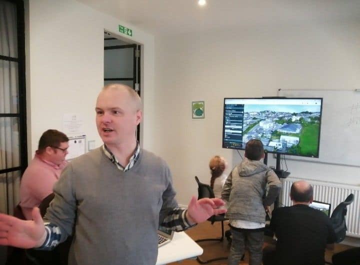
After the introductions and a discussion on why OSM is needed, and comparisons to commercial services, a starting tutorial on to map in ID, was given by Conor Graham from QUB. Members of the local community had recently secured the release of highly detailed imagery under an open licence of the town captured by a fixed wing drone, commissioned by the council. It is available at https://www.opendronemap.org/ and can be opened in JOSM. A detailed tutorial is below as it requires a few steps to setup.
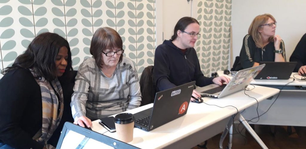
Both young and old got stuck into mapping, with those of us visiting were able to help as the new mappers made their first changes. Not just content with mapping buildings, two people separately wanted to map two different pedestrian underpasses, that with a bit of knowledge was be accomplished. Showing the power and effectiveness of being able to map your environment.
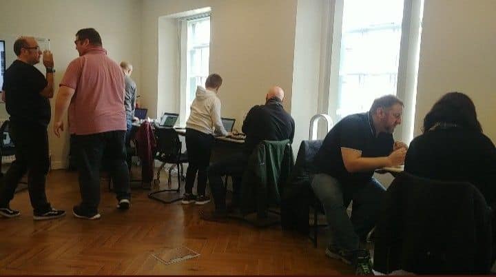
After a busy morning a lunch of pizza and soft drinks were provided, and like in any tech meetup the chat between formal events can be just as interesting. We also had Rory from the OSMF communications group who brought along some much needed stickers to be added to the back of our laptops. We hope to be back up in the near future for some advanced mapping parties.


1 Comment
Using drone imagery of Newry – OpenStreetMap Ireland · 25-Nov-2019 at 23:50
[…] Community Event in Newry […]
Comments are closed.