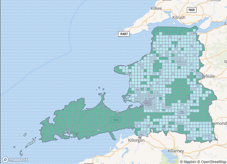
The North Co. Galway task one was one I (b-unicycling) created and due to technical issues with the task manager could not publish for the first couple of weeks, so I was the only mapper working on it. A couple of days before its completion, I was able to publish it, but nobody joined in with the mapping. The imagery used was predominantly Bing.
According to the in-built stats, 53,956 buildings and 1,059 km of road were added during this project. The other statistics come from https://dashboard.ohsome.org/.
| tags | No. March 15 2025 | No. Aug 18 2025 |
|---|---|---|
building | 11,400 | 59,900 |
building=yes | 3,500 | 12,000 |
building=house | 6,400 | 22,300 |
building=terrace | 4 | 0 |
building=shed | 342 | 6,600 |
building=garage | 189 | 4,400 |
building=greenhouse | 28 | 416 |
building=barn | 62 | 51 |
building=farm_auxiliary | 362 | 12,300 |
building=retail | 67 | 241 |
building=commercial | 13 | 117 |
building=industrial | 68 | 94 |
building=public | 2 | 3 |
building=school | 79 | 88 |
building=church | 38 | 40 |
building=ruins | 58 | 820 |
Highways and street furniture
The Bing imagery allows for spotting details like pedestrian crossings, speed bumps and other features which, once mapped, will influence safety on the road by being present in sat navs (the ones who are based on OSM only, of course). Street-level imagery is needed for more detailed mapping.
| tags | No./ length March 15 2025 | No./ length Aug 18 2025 |
|---|---|---|
highway | 3,200km | 4158km |
highway=service | 401km | 843km |
highway=crossing | 42 | 87 |
traffic_calming | 42 | 63 |
highway=street_lamp | 3 | 89 |
power=pole | 6,700 | 9,400 |
power=minor_line | 543km | 694km |
Historic features
16 potentially “new” (i.e. unrecorded by the National Monuments Service) archaeological sites were reported to the NMS, most of them enclosures and four potential crannógs. Some reports are still outstanding. Thanks to the availability of three editions of the old OS maps and the good Bing imagery, more sites were added to OpenStreetMap.
Galway being the county with the “stone walls” and where “the grass is green”, some walls were added as well – not necessarily only drystone walls, but they would count as historic features.
| tags | No./ length March 15 2025 | No./ length Aug 18 2025 |
|---|---|---|
historic=archaeological_site | 125 | 982 |
historic=church | 10 | 45 |
historic=castle | 9 | 20 |
cemetery=cillín | 13 | 44 |
barrier=wall | 150km | 975km |
Landuse
Speaking of green grass, a quick look at the mapping of landuse:
| tags | area March 15 2025 | area Aug 18 2025 |
|---|---|---|
landuse=grass | 0.36989 k㎡ | 0.7034 k㎡ |
landuse=residential | 5.7 ㎢ | 17.3 ㎢ |
landuse=meadow | 11.6 ㎢ | 14.8 ㎢ |
landuse=farmland | 7.8 ㎢ | 10.1 ㎢ |
landuse=commercial | 0.143 k㎡ | 0.2449 k㎡ |
Thanks to the validators who have taken on the project!