OpenStreetMap IrelandOpenStreetMap Ireland
  • Home
  • About
    • Membership
    • Corporate Members
    • Member Login
    • Who uses OpenStreetMap?
  • Learning
    • For Beginners
    • For Historians
      • How to fix wrong townland names spotted on townlands.ie
    • For Educators
    • For Developers
    • Tools
      • Mapillary street-level imagery
      • Panoramax Street-Level Imagery
      • OSMAnd Mobile App
      • Visualising Your Contributions
      • Using overpass-turbo to extract data from OpenStreetMap
  • Missions
    • AED Defibrillator Mapping
    • Current Mission Tasks
    • Completed Missions
      • Mapping Progress per County
      • Balbriggan
      • Celbridge
      • Connemara
      • County Cavan
      • County Clare – North
      • County Donegal
      • County Leitrim
      • County Roscommon
      • Longford Town
      • #MapLesotho
      • MapPatrick 2021
      • Wild Atlantic Way
  • News
  • Léarscáil
  • Contact

Let’sEncrypt SSL for Planet.OpenStreetMap.ie subdomain

Published by OSM Ireland on 17-Jan-2018

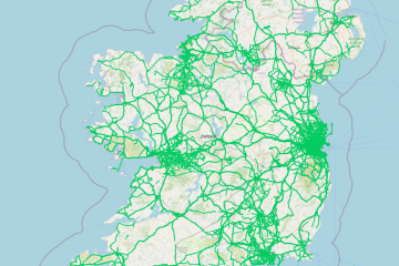
Further to our ongoing effort, we have now introduced SSL connections to planet.openstreetmap.ie

Now you can be sure that your downloads are coming from the OSM Ireland server, https://planet.openstreetmap.ie

Categories: OSMIE

Recent Posts
  • OpenStreetMap Ireland online meetup – May 2025
  • Louth (minus Dundalk) Task Mapped
  • Dundalk Task Complete
  • How to fix wrong townland names spotted on townlands.ie
  • Panoramax Street-Level Imagery
Upcoming Events (Global)
  • Моршанская картопати 2025
  • OpenStreetMap x Wikidata Taipei #77
  • 2025 júniusi OSM találkozó Budapesten
  • OSM Utah Monthly Map Night
  • Reunião da UMBRAOSM
  • Hamburger Mappertreffen
  • South Bay Map Night
OSM for History Buffs
  • Searching old street names in OpenStreetMap
  • From gravestone to 3D model - photogrammetry and heritage
  • St Moling's Well Listerlin
  • Rathlogan: Tobar na súil
  • Kiltrassy Church Well
Forum Discussions
  • Old Ordnance Survey maps in JOSM
  • Missing Post Offices in Northern Ireland
  • Ireland – Fix Incorrect Highway Junctions
  • Finding broken relations with Overpass
  • Ireland - Fix Spiky Buildings (updated)

Related Posts

Open Data

Léarscáil na hÉireann

Overview OpenStreetMap Ireland identified a need for a map of Ireland showing place names in the Irish language (Gaeilge) and to encourage more Irish language additions to OpenStreetMap (OSM). Some other mapping services show only Read more…

OSM Ireland AGM 2021
Meetups

OpenStreetMap Ireland Annual General Meeting – 26 June 2021

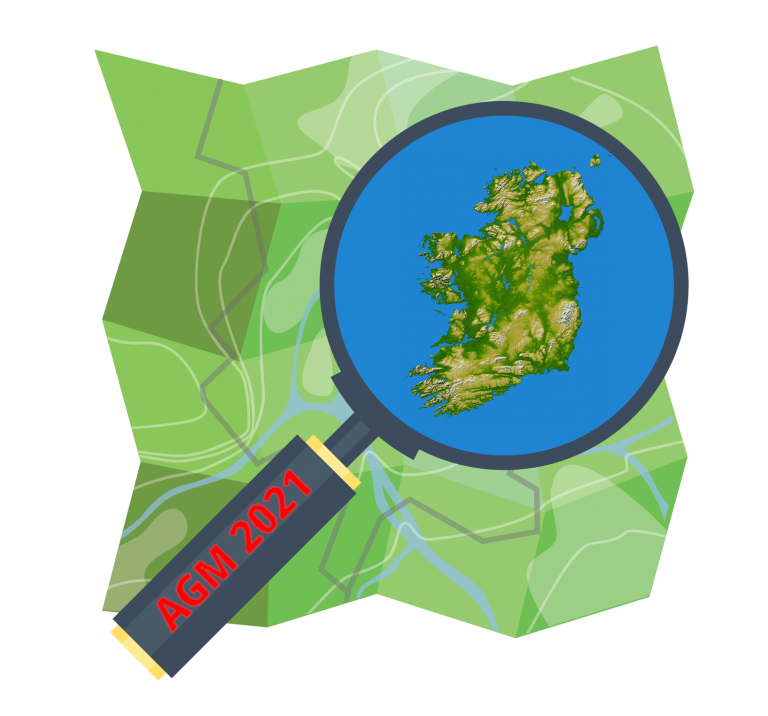
You are cordially invited to attend the Annual General Meeting of OSM Ireland CLG which will be held on Saturday 26th June 2021 at 11:00 UTC+1. The AGM, as a result of Covid-19, will be Read more…

Competition

Announcing #MapPatrick21

Five days of mapping fun: Wed March 17th to Sunday March 21st The Christian Saint – Patrick – may have lots of doubts over who he was, where he came from, when his adventures in Read more…

OpenStreetMap Ireland Company Limited Registered company number 638034

General
  • Log in
  • Entries feed
  • Comments feed
  • WordPress.org
Categories
Archives

  • Home
  • About
  • Learning
  • Missions
  • News
  • Léarscáil
  • Contact
Hestia | Developed by ThemeIsle

OpenStreetMap Ireland Cookies Policy

Our Website uses cookies to improve your experience. Please visit our Privacy Policy page for more information about cookies and how we use them.

Close