OpenStreetMap IrelandOpenStreetMap Ireland
  • Home
  • About
    • Membership
    • Corporate Members
    • Member Login
    • Who uses OpenStreetMap?
  • Learning
    • For Beginners
    • For Historians
      • How to fix wrong townland names spotted on townlands.ie
    • For Educators
    • For Developers
    • Tools
      • Mapillary street-level imagery
      • Panoramax Street-Level Imagery
      • OSMAnd Mobile App
      • Visualising Your Contributions
      • Using overpass-turbo to extract data from OpenStreetMap
  • Missions
    • AED Defibrillator Mapping
    • Current Mission Tasks
    • Completed Missions
      • Mapping Progress per County
      • Balbriggan
      • Celbridge
      • Connemara
      • County Cavan
      • County Clare – North
      • County Donegal
      • County Leitrim
      • County Roscommon
      • Longford Town
      • #MapLesotho
      • MapPatrick 2021
      • Wild Atlantic Way
  • News
  • Léarscáil
  • Contact

November 24, 2019

Uncategorized

Community Event in Newry

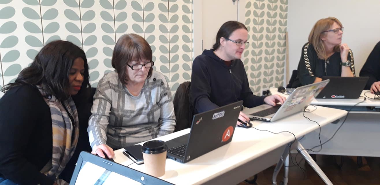
On the 16th of Nov Newry Digital, a group dedicated to building the local tech community held an OpenStreetMap Mapathon event as part of their work to build up employment in the area. There was attendance from children to adults who know about the place from the groups work running Read more

By Tad Cantwell, 6 years24-Nov-2019 ago
Recent Posts
  • Map n Chat Easter 2026
  • Using Ohsome for Task Server Projects
  • Mapping Complete on County Down
  • Belfast Mapping Event
  • Belfast Mapathon
Upcoming Events (Global)
  • EWB Chalmers Marathon Event
  • OSM Hackweekend Berlin-Brandenburg 04/2026
  • Braunschweiger Mappertreffen im Stratum 0 Hackerspace
  • Social Mapping Sunday: Armadale Train Station
  • Editathon e mapathon alla Milano Marathon 2026
  • Camera's in kaart brengen
  • OSMmapperCPH
OSM for History Buffs
  • Adding architectural data to a Wikidata item for a Historic Building
  • Creating a Wikidata item for a Historic Building
  • What is earth mortar and how can I record it using open data?
  • Michael Ring Blacksmith Gravestone #history #1798
  • Magnetic Cloister #experimentalarchaeology #3dprinting
Forum Discussions
  • Mangled ref:name from import
  • [SOLVED] How would this Click and Collect be tagged?
  • New Tasking Manager project: Add Missing Buildings in Ballybricken, Ireland
  • Richmond Hill in Cork city
  • Lack of mapped buildings in some counties

OpenStreetMap Ireland Company Limited Registered company number 638034

General
  • Log in
  • Entries feed
  • Comments feed
  • WordPress.org
Categories
Archives

  • Home
  • About
  • Learning
  • Missions
  • News
  • Léarscáil
  • Contact
Hestia | Developed by ThemeIsle

OpenStreetMap Ireland Cookies Policy

Our Website uses cookies to improve your experience. Please visit our Privacy Policy page for more information about cookies and how we use them.

Close