Open Data
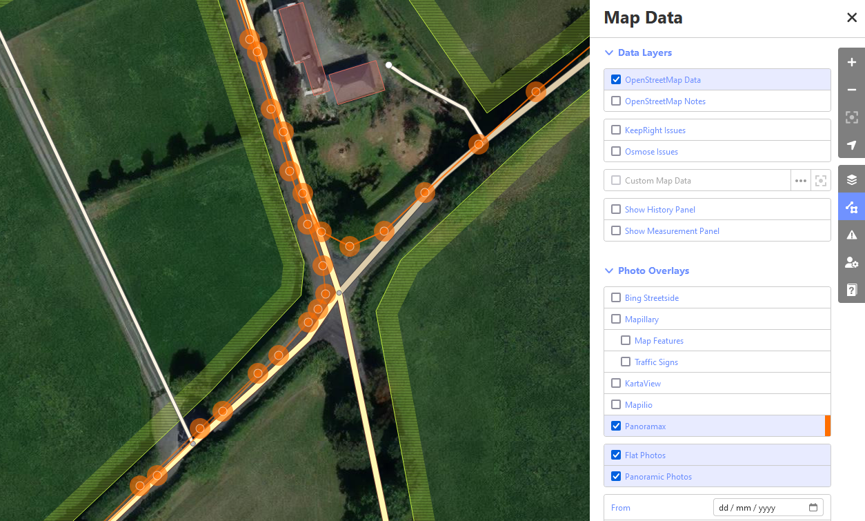
Panoramax Street-Level Imagery
(This blog post only reflects my personal opinions and experiences, not of the whole OSM Ireland community or even the board.) Most of you will be familiar with Mapillary by now, once the go-to street level imagery due to its easy-to-use app and fairly good coverage in certain areas. Since Read more…