OpenStreetMap IrelandOpenStreetMap Ireland
  • Home
  • About
    • Membership
    • Corporate Members
    • Member Login
    • Who uses OpenStreetMap?
  • Learning
    • For Beginners
    • For Historians
      • How to fix wrong townland names spotted on townlands.ie
    • For Educators
    • For Developers
    • Tools
      • Mapillary street-level imagery
      • Panoramax Street-Level Imagery
      • OSMAnd Mobile App
      • Visualising Your Contributions
      • Using overpass-turbo to extract data from OpenStreetMap
  • Missions
    • AED Defibrillator Mapping
    • Current Mission Tasks
    • Completed Missions
      • Mapping Progress per County
      • Balbriggan
      • Celbridge
      • Connemara
      • County Cavan
      • County Clare – North
      • County Donegal
      • County Leitrim
      • County Roscommon
      • Longford Town
      • #MapLesotho
      • MapPatrick 2021
      • Wild Atlantic Way
  • News
  • Léarscáil
  • Contact

School Outreach

OSMIE

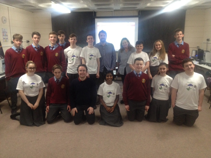
90 Young mappers and one flabbergasted older one!

My name is Dermot, and I’m a Mapaholic. I started adding bits of Ireland to OpenStreetMap early in 2007 and I haven’t stopped yet. When I started, there were pockets of coverage and a few interurban roads mapped. But basic things like a coastline were still missing. I was immediately bitten Read more

By OSM Ireland, 10 years14-Dec-2015 ago
Recent Posts
  • Belfast Mapathon
  • North Co. Galway task mapping finished
  • North Co. Clare validation complete!
  • Townland boundary overpass links
  • OpenStreetMap Ireland Annual General Meeting
Upcoming Events (Global)
  • South Bay Map Night
  • Réunion des contributeurs de Vienne (38)
  • Stammtisch Karlsruhe
  • Missing Maps mapathon Bratislava #12
  • OSMF Engineering Working Group meeting
  • Karlsruhe Hack Weekend February 2026
  • Belfast Mapathon
OSM for History Buffs
  • Mapping quarries on OpenStreetMap
  • Hermit's Well at Clontubbrid #holywell #irishholywells #fiacra #fiachre
  • Ballyellin Church date? #archaeology #citizenscience #CarlowHistory
  • Brigid's Well in Toberbreedia, Kilkenny #saintbrigid #brigidswell
  • Splitting houses with perfect right angles in JOSM #OpenStreetMap #JOSM
Forum Discussions
  • Anyone familiar with bus routings in Derry around Foyle St and Craigavon Bridge?
  • Remove English from Gaeltacht placenames
  • Archaeological site
  • A technical query re OSM vs. Translink's Open bus stop Data
  • BnM railways bulk edit

OpenStreetMap Ireland Company Limited Registered company number 638034

General
  • Log in
  • Entries feed
  • Comments feed
  • WordPress.org
Categories
Archives

  • Home
  • About
  • Learning
  • Missions
  • News
  • Léarscáil
  • Contact
Hestia | Developed by ThemeIsle

OpenStreetMap Ireland Cookies Policy

Our Website uses cookies to improve your experience. Please visit our Privacy Policy page for more information about cookies and how we use them.

Close