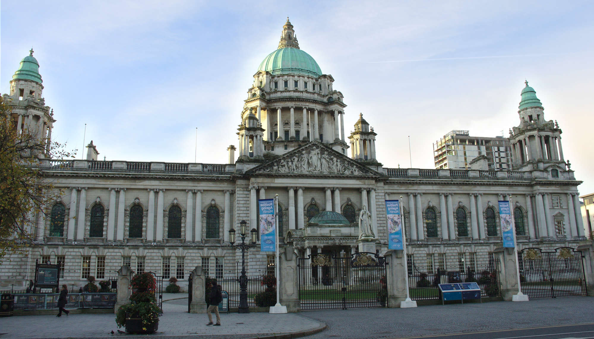
OpenStreetMap IrelandOpenStreetMap Ireland
  • Home
  • About
    • Membership
    • Corporate Members
    • Member Login
    • Who uses OpenStreetMap?
  • Learning
    • For Beginners
    • For Historians
      • How to fix wrong townland names spotted on townlands.ie
    • For Educators
    • For Developers
    • Tools
      • Mapillary street-level imagery
      • Panoramax Street-Level Imagery
      • OSMAnd Mobile App
      • Visualising Your Contributions
      • Using overpass-turbo to extract data from OpenStreetMap
  • Missions
    • AED Defibrillator Mapping
    • Current Mission Tasks
    • Completed Missions
      • Mapping Progress per County
      • Balbriggan
      • Celbridge
      • Connemara
      • County Cavan
      • County Clare – North
      • County Donegal
      • County Leitrim
      • County Roscommon
      • Longford Town
      • #MapLesotho
      • MapPatrick 2021
      • Wild Atlantic Way
  • News
  • LĂ©arscáil
  • Contact

Events

Events

OpenStreetMap Ireland Annual General Meeting

Date: Sat, September 20, 2025 · 12:00 Location: Digital Arts and Humanities Active Learning Space, University College Cork, T12 Y337 Online: We will cover the state of OpenStreetMap in Ireland, an update on the finances of the company and a series of lighting talks from the community. Come and learn about OpenStreetMap and how it Read more

By Donal Hunt, 3 months29-Aug-2025 ago
Events

OSM 21st Birthday Online Mapathon

The OpenStreetMap 21st Anniversary Birthday party will be celebrated on 9th August 2025, from 1pm to 5pm Irish Time feel free to join the online meetup at: https://osmvideo.cloud68.co/user/joo-nq7-ghw

By Jonny McCullagh, 3 months08-Aug-2025 ago
Events

OpenStreetMap Ireland online meetup – May 2025

Join us for a dive into how Large Language Models (LLMs) and an MCP (Model Context Protocol) Server can be combined to build an AI-powered chatbot that queries the OpenStreetMap (OSM) database. This session will demonstrate the working code—available on GitHub—for both the backend and frontend components.

By Donal Hunt, 6 months12-May-2025 ago
Recent Posts
  • North Co. Galway task mapping finished
  • North Co. Clare validation complete!
  • Townland boundary overpass links
  • OpenStreetMap Ireland Annual General Meeting
  • OSM 21st Birthday Online Mapathon
Upcoming Events (Global)
  • 25th OSM Delhi MapWalk (Meerut)
  • FOSS4G International Conference 2025 - Auckland
  • Internationale GeoWeek - Online Mapathon von Ă„RZTE OHNE GRENZEN (AT/CH/DE)
  • Unibo Mapathon OpenStreetMap 2025
  • OSM tĂ©rkĂ©pest 2025-11-18
  • Missing Maps London: (Online) Mid-Month Mapathon [eng]
  • RĂ©union du groupe local de Lyon
OSM for History Buffs
  • Rathvilly ogham stone 3D print timelapse
  • Recognising and mapping coffin rests
  • Using historic Ordnance Survey maps for research #OpenData #NLS
  • Kenny's Well Fish #folklore #holywell
  • Binding stones and blacksmiths in folklore
Forum Discussions
  • Ryder Cup temporary constructions
  • Ireland - Inconsistent Layer Tagging on Highways & Spiky Land Use
  • Broken boundaries (September 2025 Edition)
  • OpenStreetMap Ireland Annual General Meeting 2025
  • Northern Ireland county vs new council boundaries

OpenStreetMap Ireland Company Limited Registered company number 638034

General
  • Log in
  • Entries feed
  • Comments feed
  • WordPress.org
Categories
Archives

  • Home
  • About
  • Learning
  • Missions
  • News
  • LĂ©arscáil
  • Contact
Hestia | Developed by ThemeIsle

OpenStreetMap Ireland Cookies Policy

Our Website uses cookies to improve your experience. Please visit our Privacy Policy page for more information about cookies and how we use them.

Close