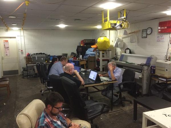
We are currently working to arrange events around the island of Ireland for 2020, in coordination with our new community project that will be announced soon. There will be mixture of online events and events around the island of Ireland, similar to 2019 that collaborate with universities, a hackerspace and shared workspaces. Overall we are happy that we reached a wide variety of people which can be seen in an uptick in the rate of mapping in the last year.
We hope to cover areas of the country that we didn’t get a chance to get to this year, so we are looking at Limerick and possibly somewhere in the midlands. Also if you want to run an OpenStreetMap event for your community, outside of anything we may have planned, go ahead and we will help to promote it on our media platforms.


1 Comment
Gerard Mc Monagle · 06-Jan-2020 at 19:15
Hi
In 2019 I was able to access the Boundary Map for Ireland – showing townlands, EDs, Civil Parishes, etc…it is now unavailable. Is this a feature that is no longer available?